
 Free
Free
Arve Valley Cycle Route
Cluses
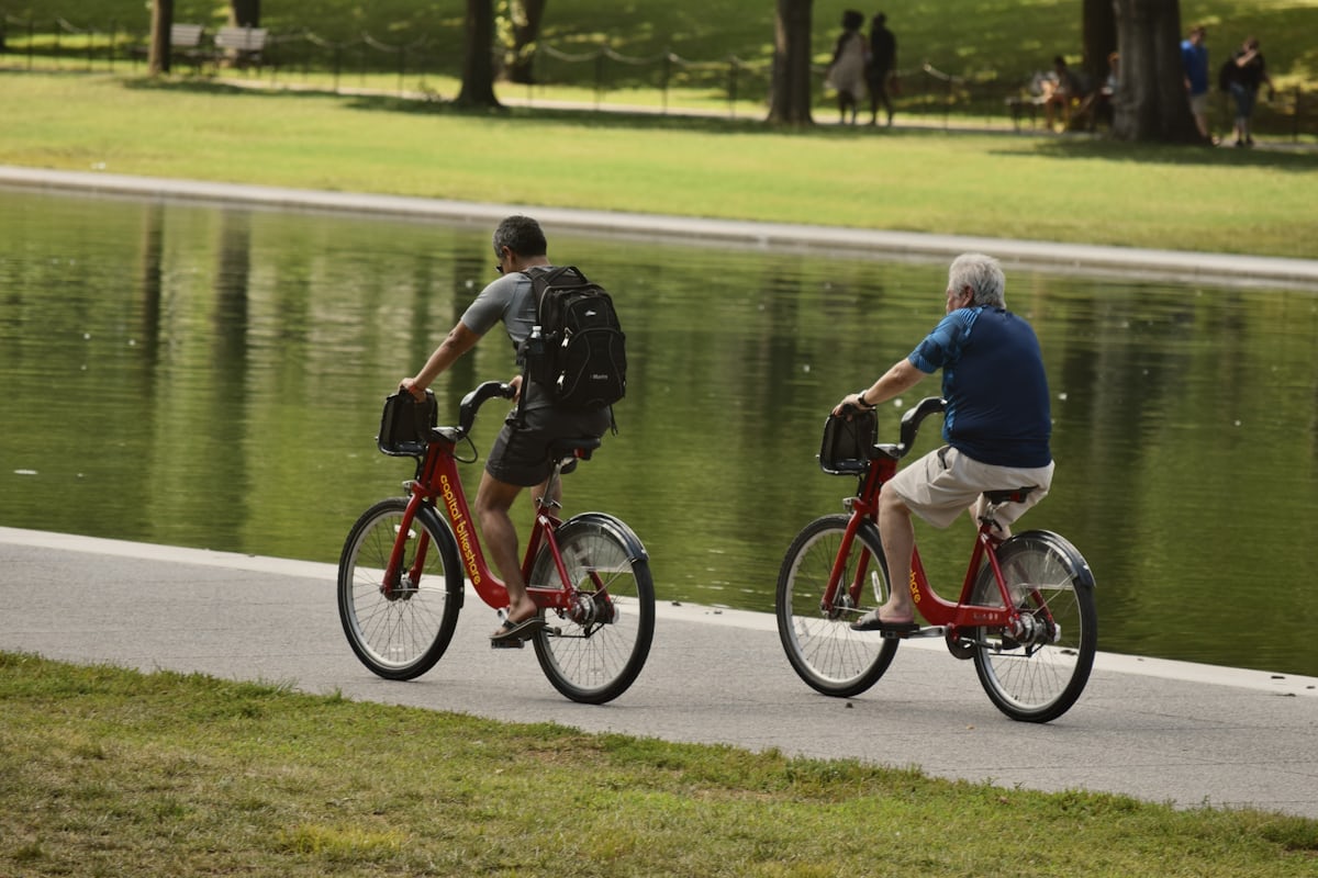
40 km of greenway from Bonneville to Sallanches via Cluses on the V61 Lake Geneva-Mont-Blanc route. Arve footbridge opened December 2019, smooth asphalt, flat.
Ruins of a 10th-12th century hill fort, the favoured residence of the Sires de Faucigny before Bonneville, on the Col de Châtillon at 862 m altitude.

The Château de Châtillon-sur-Cluses is one of the most evocative and overlooked heritage sites of the Faucigny: ruins of a 10th–12th-century castle perched on the Col de Châtillon at 862 m altitude. The strategic position controlled access between the Arve valley (Cluses, below to the east) and the Giffre valley (Taninges and the Haut-Giffre, to the west). The castle was the preferred residence of the Sires of Faucigny before the Château de Bonneville was built around 1260.
What survives today is two cylindrical tower bases, a partly preserved curtain wall running for some 50 metres, and the adjoining Saint-Maurice church (Romanesque, more modest than the castle itself). The site is partly collapsed after centuries of neglect following the Sires' move to Bonneville. A restoration project is currently being prepared by the commune of Châtillon-sur-Cluses and the Communauté de Communes Faucigny-Glières: way-marking, interpretation panels, securing of the ruins, schedule still to be confirmed.
Free admission year-round, open access. Marked trail of 15–20 minutes from the village centre of Châtillon-sur-Cluses, with a moderate 80 m climb. The path is earthen — sturdy trainers recommended. Car advisable (no direct public transport), A40 Cluses exit 10 minutes away, free village parking. Leashed pets welcome. NOT wheelchair accessible (sloping path). Can be combined with Cluses, the Col de la Ramaz 8 km away, or the Désert de Platé.
From Cluses (≈10 min, 6 km) via D902 then D26 towards Châtillon-sur-Cluses. A40 Cluses exit, 10 minutes away. Free parking in the village of Châtillon-sur-Cluses, then a 15-20 min marked trail to the castle ruins.
Open in MapsNo direct public transport to Château de Châtillon-sur-Cluses. Occasional Haute-Savoie regional coaches on the Cluses-Taninges line depending on season. Cluses SNCF station (Léman Express) is 6 km away - taxi/ride-share or car recommended.
Open in MapsRural roads around Faucigny. Cluses-Châtillon cycle route (6 km, significant 280 m elevation gain). Bike parking in the village.
Open in MapsTransport data verified on 2026-06-15 · source transport.data.gouv.fr (Licence Etalab 2.0)
Been there? Share your photos — we'll add them to this page with credit. Tag #loisirs74 or email photos@loisirs74.fr
No. Access to Château de Châtillon-sur-Cluses is free year-round for everyone. No ticketing or supervision. A marked trail leads from the village centre to the ruins.
Château de Châtillon-sur-Cluses is accessible via a marked trail, 15-20 min from the village centre. Free parking in the village, then a moderate climb (80 m elevation gain) to the ruins on the pass at 862 m altitude.
Château de Châtillon-sur-Cluses: free access 24/7 year-round to the ruins. Best conditions May-October, winter conditions vary. Verified on the official website 24 May 2026 — subject to seasonal changes.
Château de Châtillon-sur-Cluses is a 10th-12th century hill fort, the favoured residence of the Sires de Faucigny BEFORE the construction of the Château de Bonneville around 1260. A strategic position on the pass at 862 m between the Arve and Giffre valleys.
Remains visible at Château de Châtillon-sur-Cluses: 2 circular tower bases, an enclosure wall preserved over ~50 m, the adjoining Romanesque-style Saint-Maurice church. Partially collapsed site, renovation project under way.
No. The access trail to Château de Châtillon-sur-Cluses is a sloping mountain path (80 m elevation gain over 15-20 min), not wheelchair-accessible. Suitable for families with children aged 6-7 and up.
A historical combination: Château de Châtillon-sur-Cluses (10th-12th century) + Château des Sires de Faucigny = tracing the residential sequence of the Sires de Faucigny from the 10th to the 14th century.
Château de Châtillon-sur-Cluses is 10 minutes from Cluses (6 km) via D902 then D26. A40 Cluses exit, 10 minutes away. Free parking in the village, then a 15-20 min marked trail. No direct public transport.
Multi-source verification at publication. Information may change — confirm with the official operator before travelling.
Nearby
Other places to explore in the area and in the same category
Free
40 km of greenway from Bonneville to Sallanches via Cluses on the V61 Lake Geneva-Mont-Blanc route. Arve footbridge opened December 2019, smooth asphalt, flat.
 Free
Free
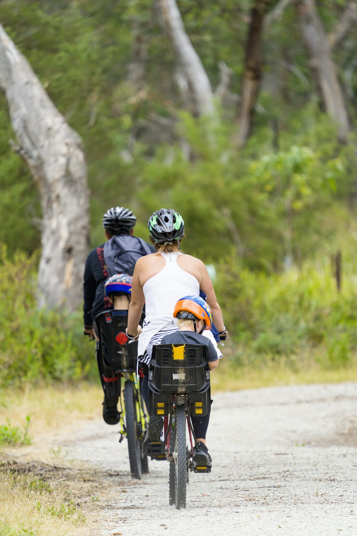
5 km family loop along the Arve between Cluses and Thyez, leading to a leisure lake at the end - flat, wheelchair-accessible greenway in Haute-Savoie.
 Paid
Paid
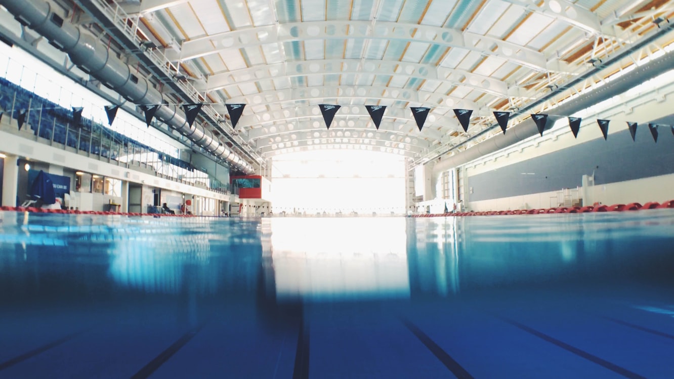
Indoor aquatic centre in Cluses: 25 m pool, 15×15 m learning pool, paddling pool, tube slide. Adult €5, open 7 days a week.
 Free
Free
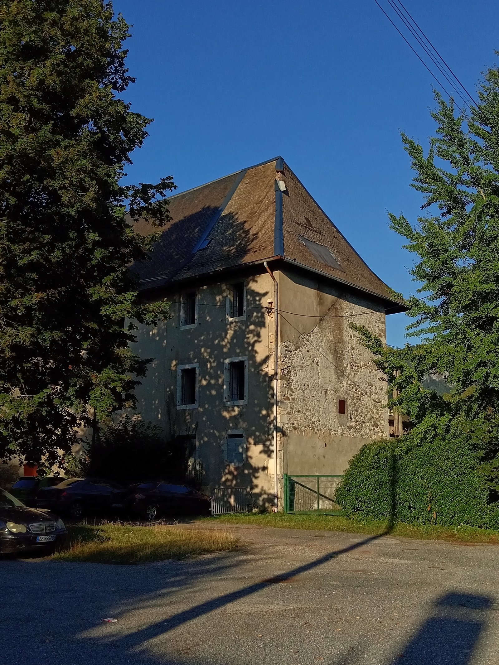
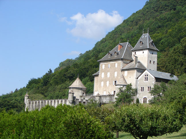
16th-century fortified manor listed MH 1994 at Scionzier (Faucigny): 17th-century wall paintings and 1840 panoramic wallpaper. Visible from the road, closed to the public.
 Free
Free
12th–13th-c. fortified manor, held by the La Fléchère family for 8 centuries, illuminated at night. Exterior free, JEP visits. Eucharistein community. Saint-Jeoire 74.
 Free
Free
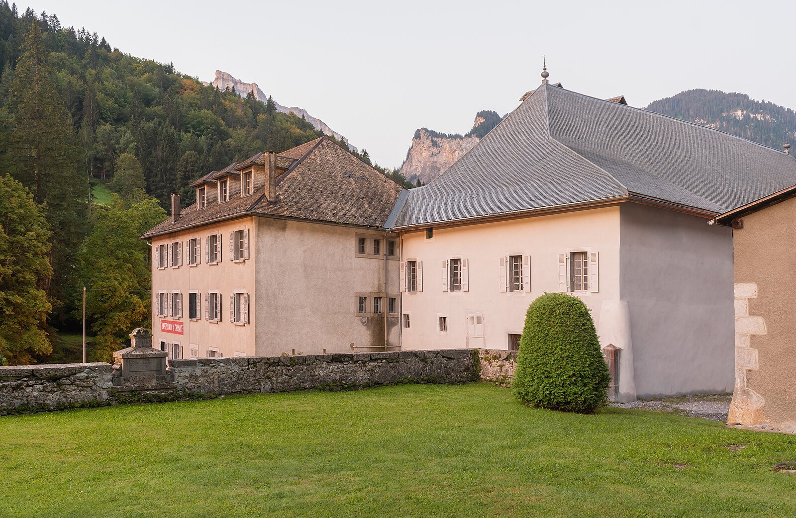
12th-century abbey listed as a Historic Monument. Free summer exhibition, 13th-century church and restored abbots' lodge. Free visit in Sixt-Fer-à-Cheval.