 Free
Free
Cascade de Chedde
Passy
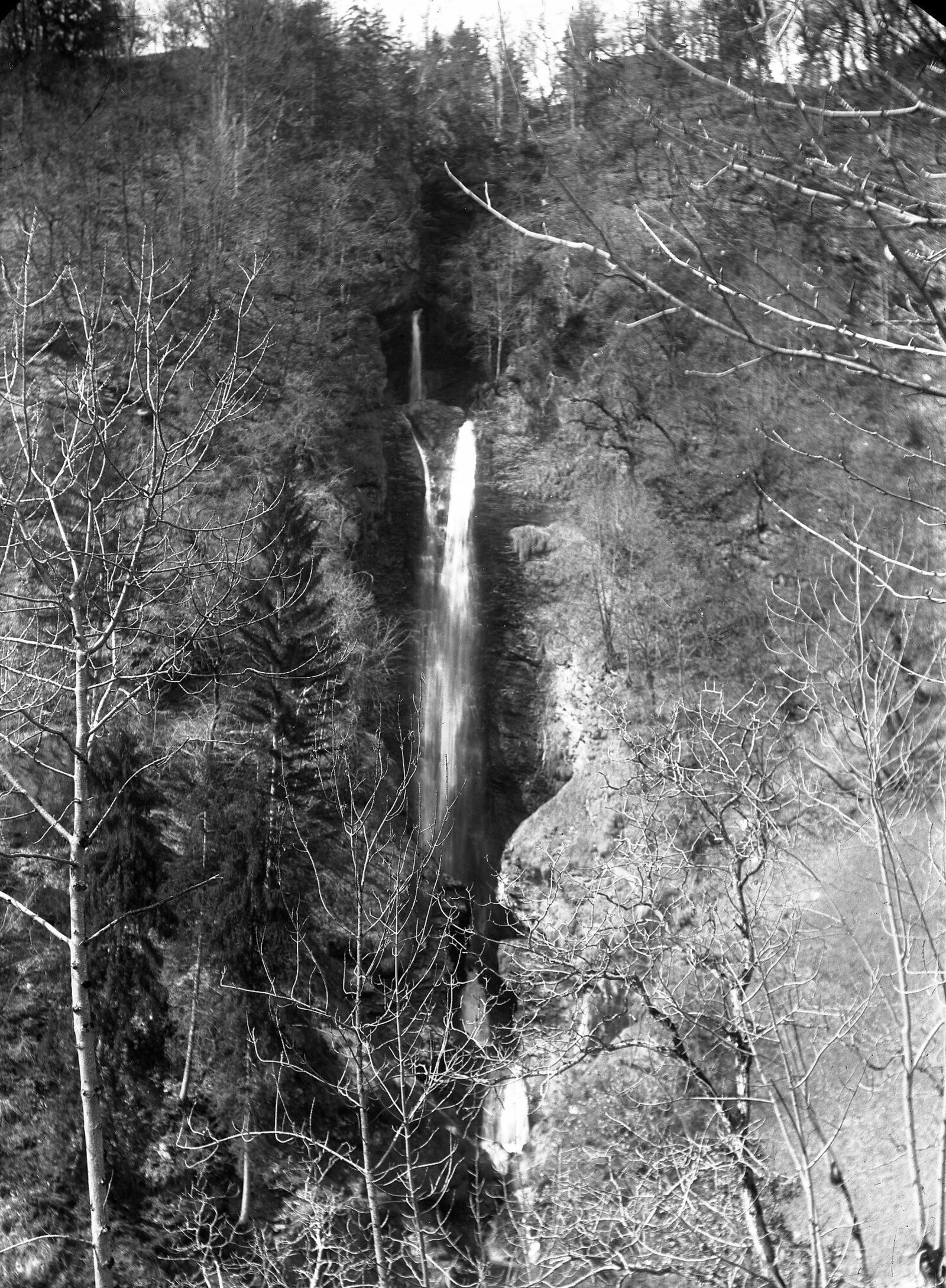
Heart-shaped waterfall in Passy-Chedde, formed by the Ugine torrent. 5 min walk from free parking. Free access year-round, classified natural site.
Montée du Praz-Coutant au refuge de Platé puis col de la Portette - 6,5 km AR / 870 m D+ - PLUS GRAND LAPIAZ D'EUROPE 1 980 ha site classé 1998.

The Sentier du Désert de Platé, at Passy, leads to what is considered the largest karst pavement (lapiaz) in Europe. The Platé site covers 1,980 hectares of remarkable limestone formations and has been a classified natural site since 1998. The plateau spreads out at over 2,000 m altitude, an open lunar landscape framed by the Mont-Blanc range.
The route climbs from Praz-Coutant to the refuge de Platé at 2,032 m, then continues to the Col de la Portette, covering 6.5 km return and 870 m of elevation gain. The Club Alpin Français refuge is open from June to September and can be used for an overnight stay before exploring the plateau the following day.
Free access all year, refuge stays paid (50-65 EUR half-board). Difficulty: difficult. Distance: 6.5 km return, 4-5 h walking time. Best season: June to October. Not suitable for wheelchairs (high-mountain trail); dogs on leads tolerated.
Passy (74190) accessible by car from Annecy/Geneva/Sallanches depending on your starting point. Free parking at the trailhead of the Sentier du Désert de Platé. Follow local signage.
Open in MapsPublic transport depending on the seasonal line to Passy. Léman Express plus Haute-Savoie regional coaches plus Mont-Blanc Express depending on the zone. Check seasonal timetables.
Open in MapsCycling recommended on greenways if the route is a greenway type. For pedestrian trails, cycling is not recommended on the Sentier du Désert de Platé.
Open in MapsTransport data verified on 2026-06-15 · source transport.data.gouv.fr (Licence Etalab 2.0)
Been there? Share your photos — we'll add them to this page with credit. Tag #loisirs74 or email photos@loisirs74.fr
No. Access to the Sentier du Désert de Platé is free and open all year round to all visitors. No ticketing, no toll. The route is permanently accessible depending on the season and weather conditions.
The Sentier du Désert de Platé is 6.5 km round trip · 870 m elevation gain. Average duration 4-5 h depending on fitness level. Difficulty: difficult. Route type: alpine hiking trail.
The Sentier du Désert de Platé is freely accessible 24/7 all year round. Recommended season June-October. Verified on the official website on 24 May 2026 — subject to seasonal changes.
The Sentier du Désert de Platé is a difficult route. Length 6.5 km round trip · 870 m elevation gain. Duration 4-5 h. Altitude 1,480 m (Praz-Coutant) to 2,354 m (Col de la Portette). Suited to experienced hikers.
Reduced mobility access: NO (alpine trail) for the Sentier du Désert de Platé. Check conditions on site. For a reduced-mobility alternative, see the Voie verte du Lac d'Annecy or the Sentier des Roselières in Saint-Jorioz if this route is not accessible.
Recommended season for the Sentier du Désert de Platé: June-October. Off-season conditions vary depending on altitude and snow cover. Check conditions with the local tourist office before travelling.
The Sentier du Désert de Platé starts from Passy (74190). Car access is recommended for the trailhead. Free parking at the trailheads. Public transport depending on the route and season.
Multi-source verification at publication. Information may change — confirm with the official operator before travelling.
Nearby
Other places to explore in the area and in the same category
Free
Heart-shaped waterfall in Passy-Chedde, formed by the Ugine torrent. 5 min walk from free parking. Free access year-round, classified natural site.
 Paid
Paid
Multi-activity adventure park facing Mont-Blanc: 10 treetop courses, 1.2 km of zip-lines, airbag, human catapult, outdoor escape games. From €6.
 Free
Free
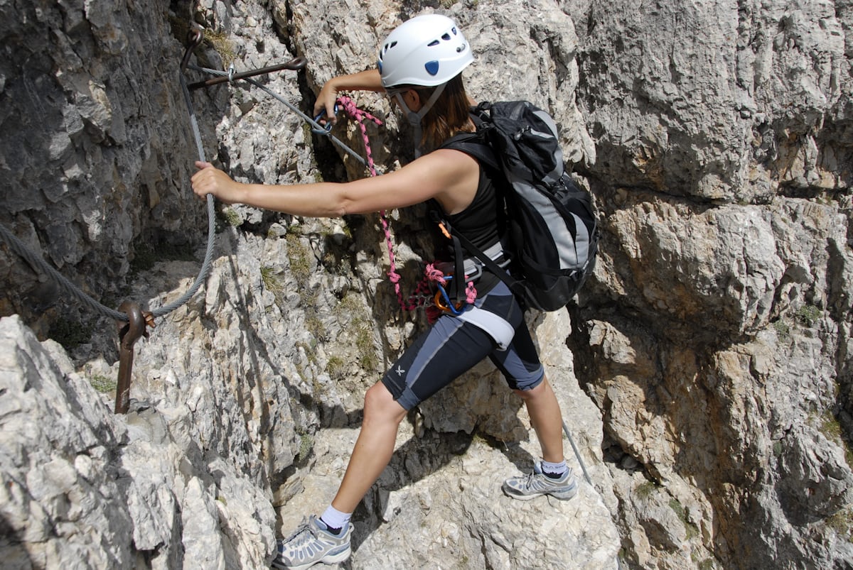
AD+ via ferrata of 500 m above Passy, in the Fiz massif, facing Mont-Blanc. Nepalese bridge, beam, walkway. Free access, free car park.
 Free
Free
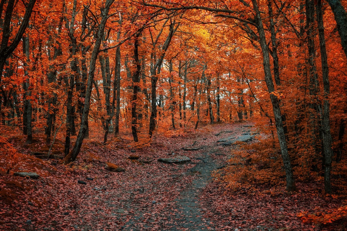
Free family treasure hunt at Servoz (Chamonix valley): ~2 h walk from the SNCF station, question booklet picked up at the Chamonix Valley Tourist Offices.
 Free
Free
GR® de Pays Tour du Pays du Mont-Blanc: 100% Haute-Savoie walking loop around the massif on the French side — an alternative to the international Tour du Mont-Blanc.
Paid