A restaurant in Le Grand-Bornand?
Hosting visitors of Pointe Percée Geological Trail ? Appear here.
Become a partnerGeological interpretation trail in the heart of the Aravis: from the Col des Annes (1721 m) to the Pointe Percée refuge, 4 themed stations and a dozen interpretation viewpoints tell the story of how the massif was formed. Free shuttles in summer.

The Pointe Percée Geological Trail is a waymarked interpretive route across the Aravis range, from the green pastures of the Col des Annes (1,721 m) to the foot of the Pointe Percée (2,752 m), the highest peak of the chain. Designed to explain how the Northern Alps were formed — limestone strata, folding, glaciation and karst — it is dotted with 4 themed stations on Earth sciences plus around ten landscape interpretation windows.
The trail climbs via the Tête des Annes and the Col de l'Oulettaz to the Refuge de la Pointe Percée (FFCAM mountain hut, around 2,164 m), where the hike stops for general walkers; the summit itself is the domain of mountaineering. Expect around 6.9 km round trip, 2 h 30 to 3 h, around 540 m of ascent and a chain-assisted section just before the Col de l'Oulettaz: the trail is rated difficult. Le Grand-Bornand Tourisme operates free shuttles to the Col des Annes every summer, cutting traffic and allowing one-way loops. The route crosses pastures, rhododendron banks, glacial valleys and karst pavements and offers, on a clear day, an exceptional view of the Mont-Blanc massif.
Hosting visitors of Pointe Percée Geological Trail ? Appear here.
Become a partnerShare hours and specialties with visitors of Pointe Percée Geological Trail.
Become a partnerGîte, B&B, campsite, rental in Le Grand-Bornand.
Become a partner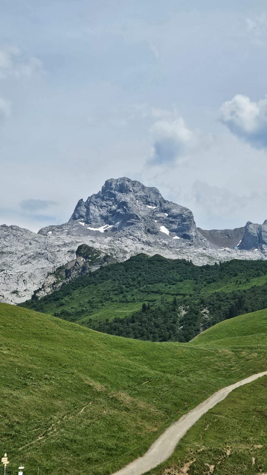 Photo : Bénédicte · merci ! 🦆
Been there? Share your photos — we'll add them to this page with credit. Tag #loisirs74 or email photos@loisirs74.fr
The Pointe Percée Geological Trail starts at the Col des Annes (1721 m), in the commune of Le Grand-Bornand, and climbs up to the Pointe Percée refuge at around 2164 m, at the foot of the eponymous summit.
Yes. The Pointe Percée Geological Trail is rated as a difficult hike: 540 m positive elevation gain, alpine terrain, and a chain-equipped section just before the Col de l'Oulettaz. It is aimed at experienced hikers.
Allow 2 h 30 to 3 hours round trip for the Pointe Percée Geological Trail up to the refuge, not counting stops at the interpretation stations. Plan a half day to full day with breaks.
No. The Geological Trail stops at the Pointe Percée refuge. The ascent of the 2752 m summit is a mountaineering route and is normally done with a high-mountain guide, via the routes from Les Troncs or the Col des Verts.
Yes. Le Grand-Bornand Tourisme sets up free shuttles every summer (July-August) between the village of Le Grand-Bornand and the Col des Annes, the starting point of the Pointe Percée Geological Trail.
The Pointe Percée Geological Trail is generally walked from June to October, after the snowmelt and before the first snowfalls. Mountain weather remains very changeable: check forecasts and snow cover before setting off.
Yes. The end point of the Pointe Percée Geological Trail is the Pointe Percée refuge (FFCAM, ~2164 m), staffed in season, where you can stock up on a drink or meal according to the opening calendar.
Multi-source verification at publication. Information may change — confirm with the official operator before travelling.
Nearby
Other places to explore in the area and in the same category
 Free
Free
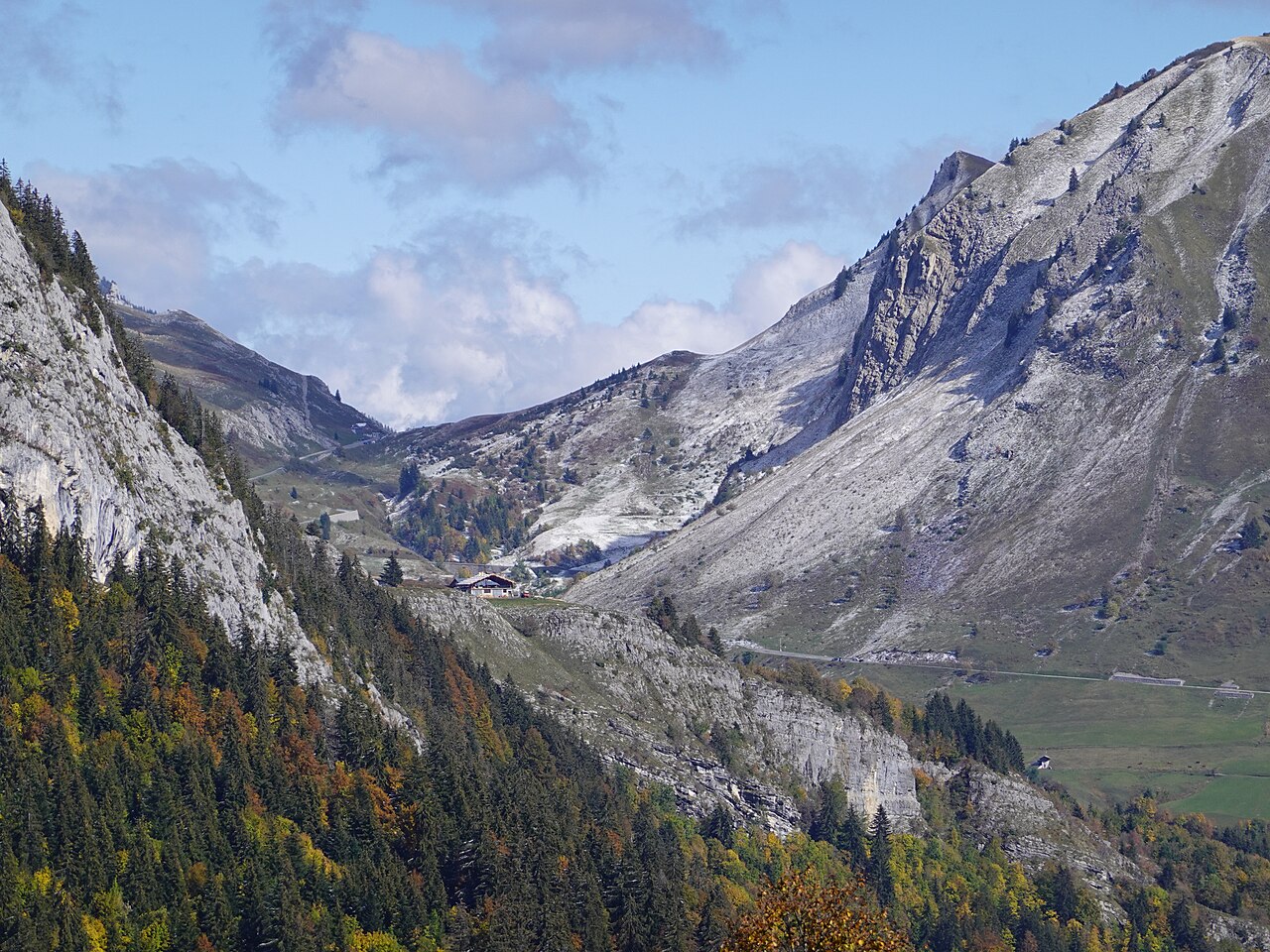
Legendary 1,613 m Tour de France pass between Le Reposoir and Le Grand-Bornand. Route des Grandes Alpes, Aravis–Bargy panorama, hiking and cycling.
 Paid
Paid
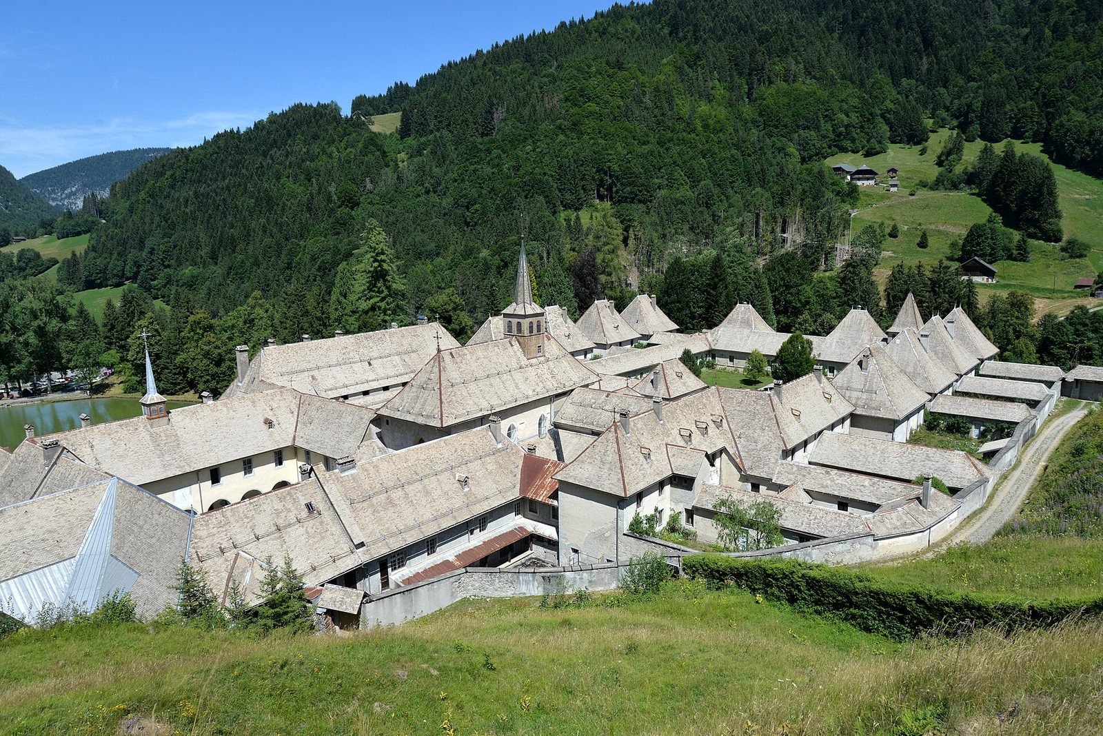
Le Reposoir, a small authentic village resort beneath the Bargy, at the foot of the col de la Colombière: family alpine skiing, snowshoeing and ski touring, historic Chartreuse du Reposoir.
 Free
Free
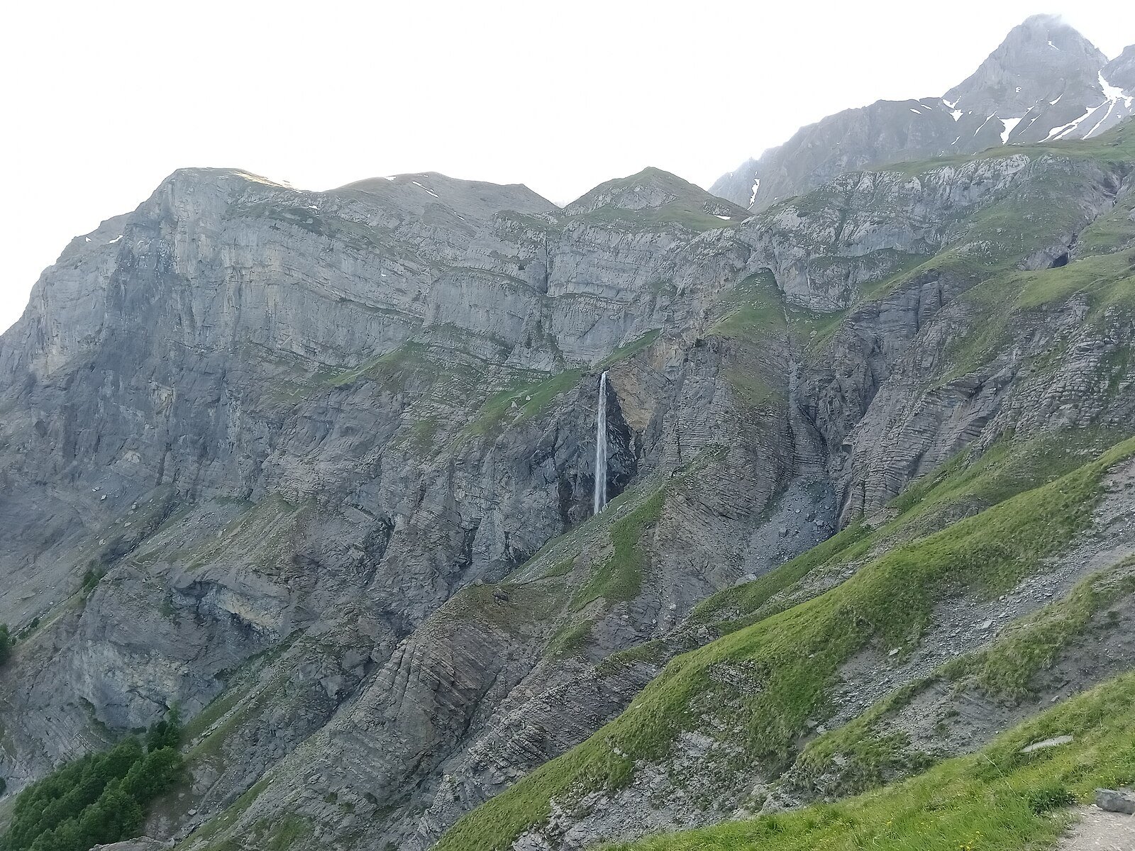
Mountain waterfall fed by the Gouille des Fours, at the foot of Pierre Fendue in the Aravis massif. Free access, demanding hike, Sallanches.
 Free
Free
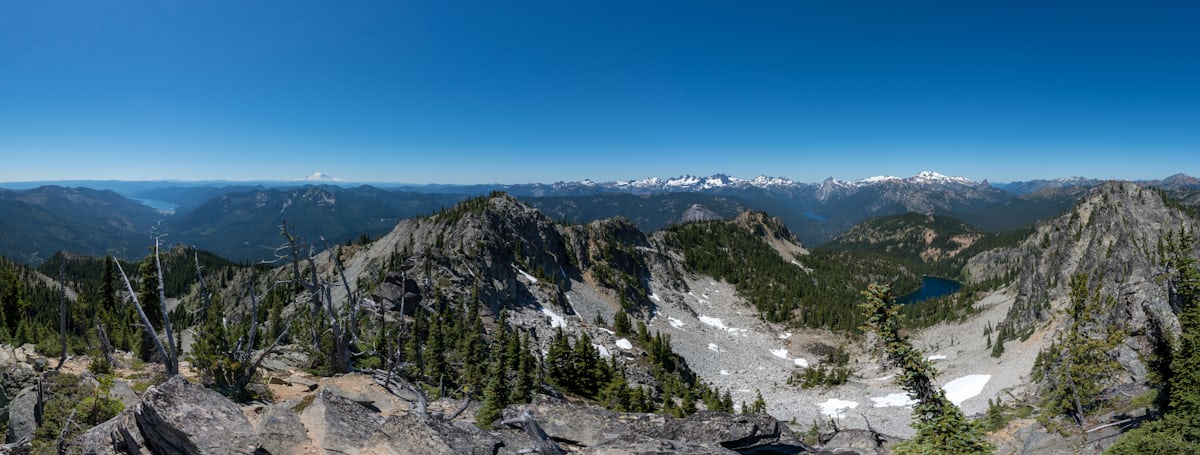
GR® de Pays Tour du Pays du Mont-Blanc: 100% Haute-Savoie walking loop around the massif on the French side — an alternative to the international Tour du Mont-Blanc.
 Paid
Paid
Playful 7-module wooden-ball trail at La Clusaz: from the Patinoire cable car top down to the Bossonnet woods. Mountain summer.
Paid