
 Free
Free
Col des Aravis
La Clusaz
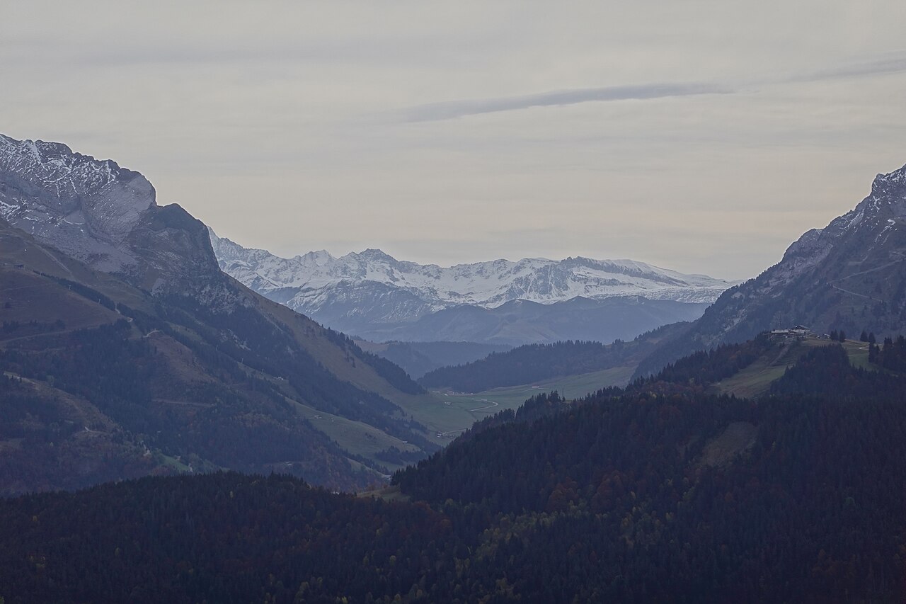
Pass at 1,486 m between La Clusaz and La Giettaz. Mont-Blanc view, chapel, alpine meadows, hiking, Reblochon. Route des Grandes Alpes. Free access D909.
Yves Pollet-Villard via ferrata: 700 m of equipped cables on the cliff face, difficulty D, perched between 1,500 and 1,800 m facing the Étale massif.

The Yves Pollet-Villard via ferrata, carved into the Borderan cliff above the Col des Aravis, is one of the iconic equipped routes of the Aravis range. Spanning 700 metres with a 300 m elevation gain, it runs mostly as an ascending traverse between 1,500 and 1,800 m altitude, facing the Étale massif. Graded D (difficult), with an optional D+ finish at the R'tourne exit, this via combines ladders, cables, an 80 m-high suspended footbridge and exposed traverses on smooth, weathered limestone.
The route is freely accessible — no ticket booth, no commercial site — but full gear is essential: harness, energy-absorbing double lanyard, helmet and shoes with good grip. Beginners or families with children are strongly advised to go with a certified mountain guide (Bureau des Guides de La Clusaz). By municipal order, access is prohibited from 15 November to 5 May, and strongly discouraged if the face is snow-covered or has not been safety-inspected.
What sets the Pollet-Villard apart from other Haute-Savoie via ferratas is its south-facing exposure — an asset in summer, but very hot midday — and its many grassy ledges that reduce exposure but make the rock slippery in wet conditions. The alpine setting, the plunging view over the Col des Aravis road and the mountain backdrop justify the trip. Allow 20 min approach, 2.5–3 h cabled route and 40–60 min descent on marked trail.
From Annecy (40 min / 25 km): RD909 via Thônes, Saint-Jean-de-Sixt then La Clusaz. Cross the village and climb towards Col des Aravis. Signposted via ferrata car park 4 km past the centre (2nd car park on left going up).
Open in MapsBus line 61 Annecy–La Clusaz (SAT74), alight in village then 4 km walk or taxi to via ferrata car park. Internal La Clusaz shuttles in season.
Open in MapsCycling climb from La Clusaz (4 km, ~150 m elevation gain). Road popular with motorcyclists; caution. Bike parking available.
Open in MapsTransport data verified on 2026-06-15 · source transport.data.gouv.fr (Licence Etalab 2.0)
Parking checked on 2026-06-15 · © les contributeurs d'OpenStreetMap sous licence ODbL
Been there? Share your photos — we'll add them to this page with credit. Tag #loisirs74 or email photos@loisirs74.fr
Access is free, but a certified mountain guide is strongly recommended for beginners, families with children or anyone not fully self-sufficient. Bureau des Guides de La Clusaz: +33 4 50 63 35 99.
Graded D (difficult), with an optional D+ finish. The route is long (700 m, 2.5–3 h), physical and exposed. Good fitness and no vertigo required.
Harness, energy-absorbing double lanyard, helmet and approach or hiking shoes with good grip. Water, snacks and warm clothes in a small backpack advised. Rental available from guides.
Possible from age 13 with supervision, but D rating not suited to beginners. Many reports advise against the route for children <12 or inexperienced climbers without a guide. Choose an easier via ferrata for a first experience.
Early morning (7:30–8:00) recommended in summer to avoid intense heat (south-facing). In June, September or October, morning or early afternoon starts possible.
Yes, several intermediate exits allow you to leave the route mid-way if needed (fatigue, weather, vertigo).
Signposted via ferrata car park on Col des Aravis road (D909), 4 km past La Clusaz centre. 2nd car park on left going up. Free.
3–4 h total: 20 min approach + 2.5–3 h via ferrata + 40–60 min descent on trail.
Multi-source verification at publication. Information may change — confirm with the official operator before travelling.
Nearby
Other places to explore in the area and in the same category
Free
Pass at 1,486 m between La Clusaz and La Giettaz. Mont-Blanc view, chapel, alpine meadows, hiking, Reblochon. Route des Grandes Alpes. Free access D909.
 Paid
Paid
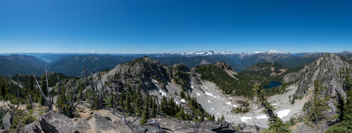
Playful 7-module wooden-ball trail at La Clusaz: from the Patinoire cable car top down to the Bossonnet woods. Mountain summer.
 Paid
Paid
1,000 m² covered ice rink in La Clusaz, open late December to end April: public sessions, night skating, Monday Eisstock. From €5.
 Paid
Paid
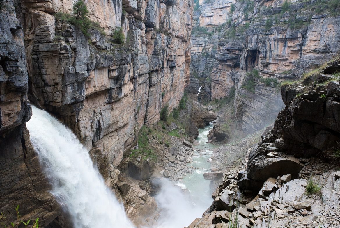
Escape Canyon: guided canyoning outings in the Aravis from La Clusaz. Beginner and sporty routes, gear included. Summer 2026.
 Paid
Paid
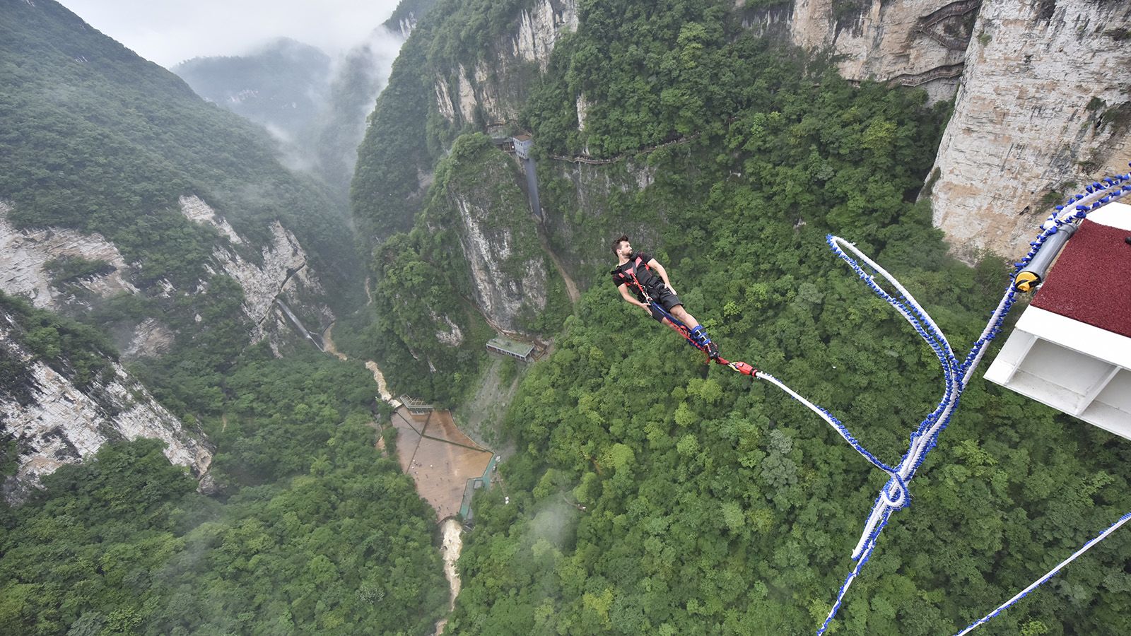
Bun-J-Ride at Saint-Jean-de-Sixt: supervised giant swing in the Aravis, big thrills guaranteed. Seasonal, by reservation.
 Paid
Paid
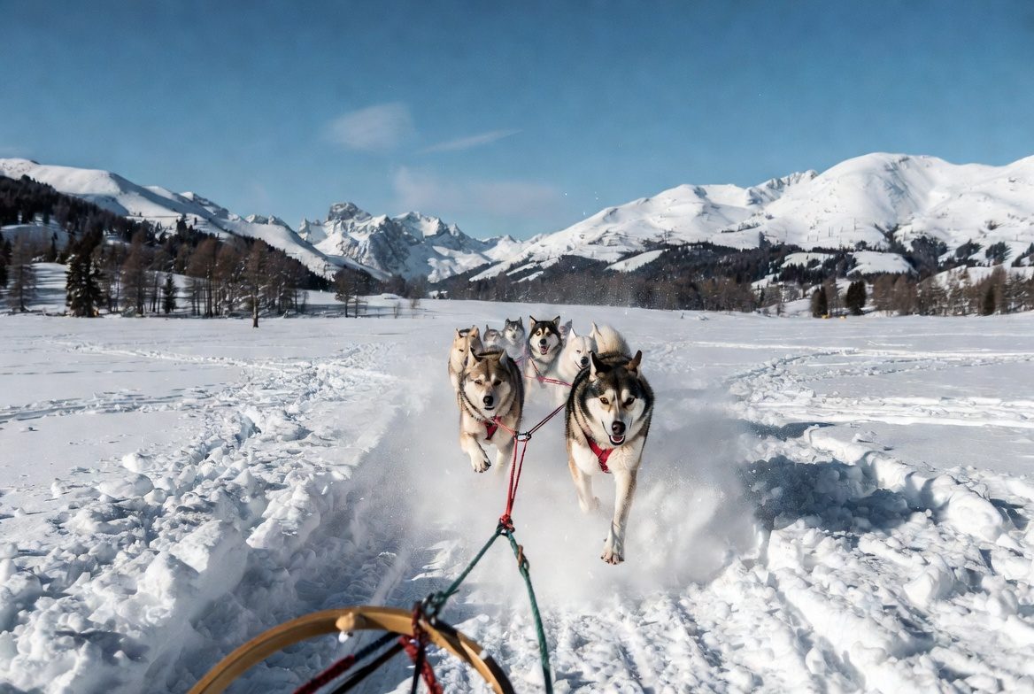
Dog sledding (huskies) in Le Grand-Bornand: coached rides, kennel visits, family outings in winter season.