Restaurant, café, bar
Serving visitors to this site? Appear here.
Become a partnerHigh-altitude pass and plateau (1,425 m) at the centre of the Bornes massif, a landmark of French Resistance history, accessible via two mountain roads and offering vast alpine pasture lands.
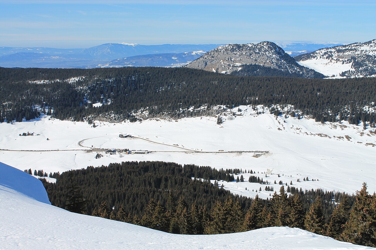
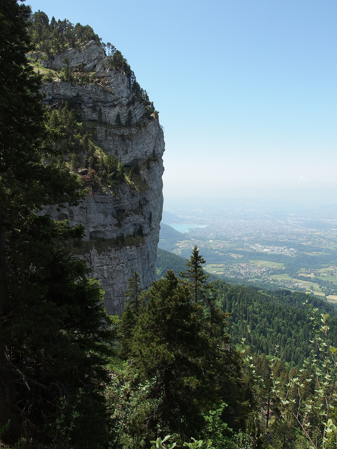
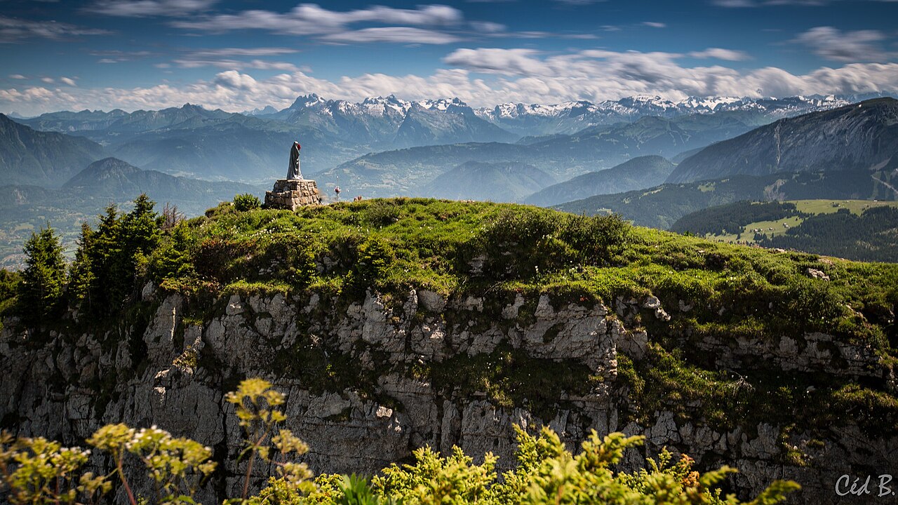
The Col des Glières (1,425 m) marks the central point of the Glières Plateau, a vast limestone plateau in the Bornes massif, between 1,400 and 1,800 metres altitude. The pass itself is barely marked on the terrain — it is the surrounding plateau, broad and relatively flat, that constitutes the true attraction. Located respectively 29 and 15 kilometres from La Roche-sur-Foron and Thorens-Glières, the plateau extends across the communes of Glières-Val-de-Borne and Fillière.
This site is a landmark of French Resistance history. From January to March 1944, 465 resistance fighters (maquisards) gathered here under the successive command of Lieutenant Tom Morel and then Captain Maurice Anjot to receive Allied weapons drops. On 26 March 1944, faced with the joint attack of Vichy forces and the Wehrmacht, 129 maquisards and 20 civilians died. The National Monument to the Resistance, a work by Émile Gilioli inaugurated by André Malraux on 2 September 1973, stands at the centre of the plateau. It has been listed as a Historic Monument since 2020.
Today, the Glières Plateau is a natural area classified Natura 2000 and a Sensitive Natural Area, appreciated year-round: hiking and alpine pastures in summer, cross-country skiing (36 km of trails) and snowshoeing in winter. Accessible via two mountain roads (from Thorens-Glières/Fillière to the west or Le Petit-Bornand-les-Glières to the east), the site offers an escape 45 minutes from Annecy.
From Annecy (45 min): head towards Thônes then Thorens-Glières via D909, then take D55 (Route des Glières) to the plateau. From La Roche-sur-Foron (30 min): head towards Thorens-Glières then D55. Alternative access from the east: from Le Grand-Bornand or Thônes, via Le Petit-Bornand-les-Glières. Winding and narrow roads, caution in all seasons. Free parking at the centre of the plateau.
Open in MapsMythical cycling climb (beyond categorized, twice crossed by the Tour de France). Two approaches: west from Thorens-Glières (14 km, 6.5% average gradient, steady climb), east from Le Petit-Bornand (10 km, 8.5% average gradient, sections up to 13%). Plateau crossing on dirt track (gravel bike recommended).
Open in MapsServing visitors to this site? Appear here.
Become a partnerShare your hours and specialities with visitors.
Become a partnerB&B, gîte, campsite, holiday let.
Become a partnerBeen there? Share your photos — we'll add them to this page with credit. Tag #loisirs74 or email photos@loisirs74.fr
No. Access to Col des Glières and the plateau is free and costs nothing year-round. Parking on the plateau car parks is also free.
From Annecy (45 min), head towards Thônes then Thorens-Glières via the D909, then take the D55 (Route des Glières) to the plateau. Winding mountain road.
Yes. The National Monument to the Resistance at Col des Glières is accessible on foot year-round (wooden footbridge from central car park). The interior is open and contains works by Émile Gilioli.
Summer (May–October) for hiking, visiting the monument and discovering alpine pastures. Winter (December–March) for cross-country skiing and snowshoeing on the Col des Glières Plateau. Avoid April (possible rockfall).
Yes. The Col des Glières Plateau has several alpine chalets converted into restaurants or guesthouses (Chez la Jode, etc.) and farms selling Reblochon and Tomme directly, open in summer season.
Yes, dogs are permitted at Col des Glières and on the plateau, but must be kept on leash (respect for alpine herds and wildlife).
Allow a minimum of 2 to 3 hours for the Historic Trail and visit to the National Monument at Col des Glières. Allow a half-day to full day for longer hikes on the plateau.
Yes. Col des Glières is a mythical cycling climb (beyond categorized). Two approaches: west from Thorens-Glières (14 km, 6.5%) or east from Le Petit-Bornand (10 km, 8.5%, harder).
Multi-source verification at publication date. Information may change — confirm with the official operator before travelling.