
 Free
Free
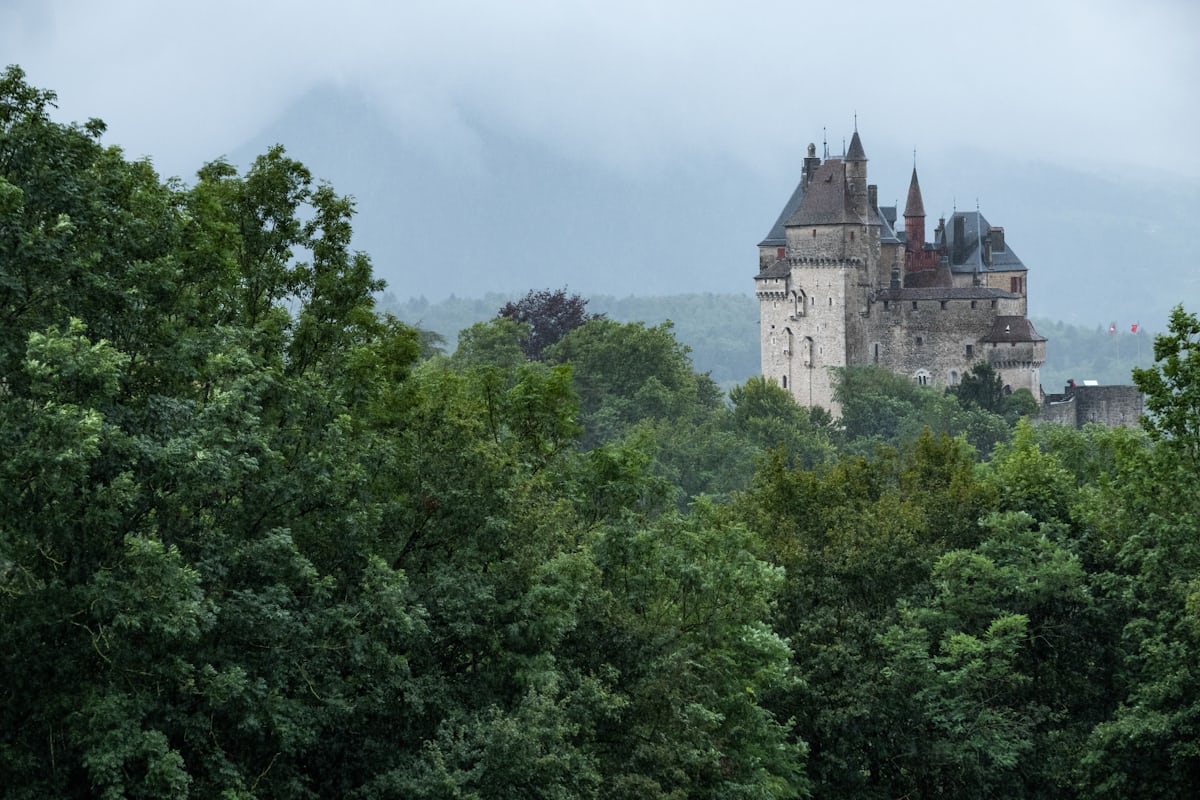
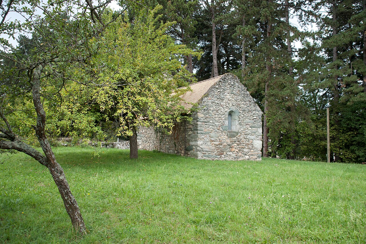
Ruins of the Château d'Habère-Lullin
Habère-Lullin
Remains of the Gothic château of the marquises of Lullin (15th c.) burnt down by the SS in December 1943, at Habere-Lullin in the Vallee Verte. Free access.
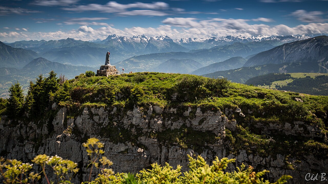
Emblematic summit of the Haut-Chablais offering a 360° panoramic view of Lake Geneva, Cornettes de Bise and Mont Blanc massif. Family hike from Villard with remarkable religious heritage.

The Pointe de Miribel (1,581 m) is a summit in the Haut-Chablais overlooking Lake Geneva and the Vallée Verte. Its name, derived from local toponymy, literally means "beautiful view", a promise amply fulfilled at the summit. This exceptional viewpoint offers a 360° panorama of Lake Geneva, the Mont Blanc massif, Cornettes de Bise, Dent d'Oche and all the peaks of the Chablais.
Beyond its scenic interest, the Pointe de Miribel possesses unique religious heritage: seventeen columns of red marble topped with iron crosses and a statue of the Virgin Mary crown the summit. This monumental calvary, created in 1808 by Joseph-Marie Félisaz, a farmer from Villard, marks the route of a Way of the Cross frequented during pilgrimages and solemn festivals for over two centuries. In 1774, an initial oak cross was erected here, destroyed during the Revolution and replaced by this remarkable ensemble.
The hike from Villard or from the Ajon alpine pasture crosses forests and meadows. The Ajon pasture is occupied by Abondance cattle during the summer season; the transhumance in late May is a festive event attended by hundreds. The route from Ajon (elevation gain ~400 m, about 1h30 ascent) is classified as easy, while the loop from Villard (about 10 km, elevation gain ~700 m) is more demanding but varied. Winter access from the Plaine-Joux cross-country ski center is also possible. Accessible from May to October depending on snow conditions, the Pointe de Miribel is an ideal hike for novice hikers or for an early-season warm-up.
From Annemasse (20 km, 30 min) or Thonon-les-Bains (25 km, 30 min), follow the D26 then D32 towards Villard or Habère-Poche. Free parking in the center of Villard (town hall square) or at Ajon (end of paved road).
Open in MapsRegional bus line to Boëge or Habère-Poche (Alpes du Léman Tourist Office: 04 50 39 54 46), then taxi or carpooling to Villard.
Open in MapsCycling route from the Vallée Verte via Col du Feu (1,120 m) or Col de Cou. Demanding climb but exceptional setting with view of Lake Geneva.
Open in MapsTransport data verified on 2026-06-15 · source transport.data.gouv.fr (Licence Etalab 2.0)
Been there? Share your photos — we'll add them to this page with credit. Tag #loisirs74 or email photos@loisirs74.fr
Multi-source verification at publication. Information may change — confirm with the official operator before travelling.
Nearby
Other places to explore in the area and in the same category
Free
Remains of the Gothic château of the marquises of Lullin (15th c.) burnt down by the SS in December 1943, at Habere-Lullin in the Vallee Verte. Free access.
 Paid
Paid
Discovery trail 6.5 km / 330 m climb at Habère-Lullin (Vallée Verte) tracing Guy Chatiliez's book 'Alpage de mon enfance': 8 panels + QR codes.
 Paid
Paid
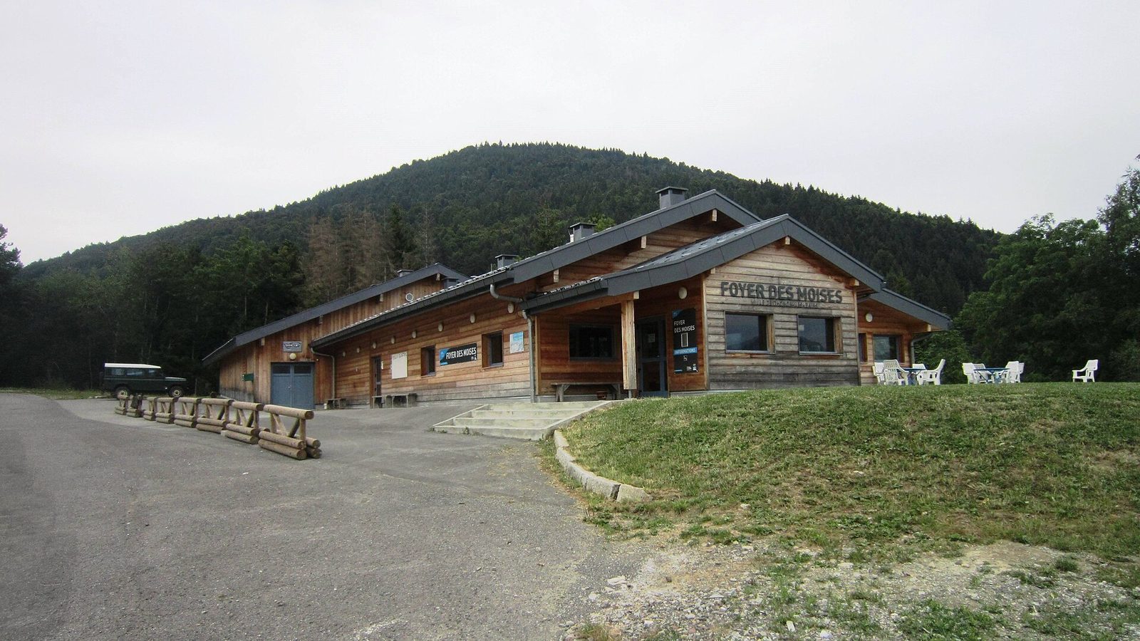
Hirmentaz (Bellevaux) and Les Habères (Habère-Poche), two family-friendly resorts in the Vallée Verte with linked ski areas: 43 pistes, cross-country skiing, 30 km from Genève.
 Free
Free
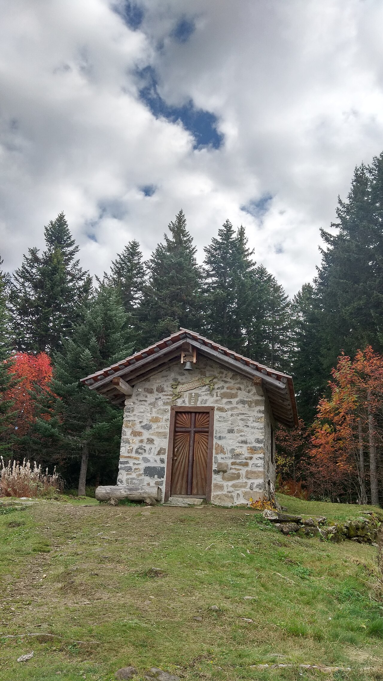
Alpine pasture plateau above the Vallée Verte: Lake Geneva and Mont-Blanc views, family trails in summer, cross-country skiing and snowshoeing in winter. Free access.
 Free
Free
Wild Dranse delta on Lake Geneva between Thonon and Publier: reedbeds, alluvial forest, water birds. Free trails, managed by Asters.
 Free
Free
Alpine pasture in the Bornes massif at 1,507 m above Brizon: family hikes (Pointe d'Andey, Lac Bénit), cross-country skiing and snowshoeing.