
 Free
Free
Col des Glières
Fillière
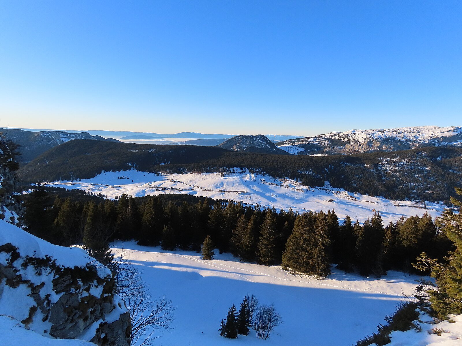
High-altitude plateau (1,425 m) and Resistance landmark. National Monument, 50 km of hiking, cross-country skiing, alpine pastures and cheese. Free access year-round.
Sentier d'interprétation historique sur le Plateau des Glières, haut lieu de la Résistance française - 11 panneaux + monument national Gilioli 1973.

The Sentier de découverte du Plateau des Glières is an interpretation trail dedicated to one of the most important sites of the French Resistance. In March 1944, the plateau was the scene of the stand of 465 maquisards from the Maquis des Glières, who faced Vichy forces and then the German army. 105 fighters were killed in action or executed; the plateau has been a national symbol ever since.
Eleven information panels run along the route, set in the alpine pastures at around 1,400 m altitude, and lead to the national monument designed by sculptor Émile Gilioli, inaugurated in 1973. The plateau also hosts the annual 'Glières Citizenship Days' and a yearly torchlight tribute in March.
Free entry all year. Difficulty: very easy. Distance: 4 km loop, about 1 h 30 walking time. Best season: May to October (the plateau is snow-bound in winter and turned over to Nordic skiing). Free parking at the visitor centre, with information point and seasonal exhibition.
Thorens-Glières (74570) is accessible by car from Annecy/Geneva/Sallanches depending on where you're coming from. Free parking at the start of the Sentier de découverte du Plateau des Glières. Follow local signage.
Open in MapsPublic transport depending on seasonal route to Thorens-Glières. Léman Express + Région Haute-Savoie coaches + Mont-Blanc Express depending on area. Check seasonal timetables.
Open in MapsCycling is recommended on greenways where the route is a greenway. For walking trails, cycling is not recommended on the Sentier de découverte du Plateau des Glières.
Open in MapsTransport data verified on 2026-06-15 · source transport.data.gouv.fr (Licence Etalab 2.0)
Been there? Share your photos — we'll add them to this page with credit. Tag #loisirs74 or email photos@loisirs74.fr
No. Access to the Sentier de découverte du Plateau des Glières is free all year round for everyone. No ticketing, no toll. Route open at all times, subject to season and weather conditions.
The Sentier de découverte du Plateau des Glières is a 4 km loop · 11 interpretive panels. Average duration 1 h 30 depending on fitness. Very easy difficulty. Route type: historical interpretive trail.
The Sentier de découverte du Plateau des Glières is freely accessible 24/7 all year round. Recommended season May-October (road closed in winter). Verified on the official website on 24 May 2026 — subject to seasonal changes.
The Sentier de découverte du Plateau des Glières has a very easy difficulty rating. Length 4 km loop · 11 interpretive panels. Duration 1 h 30. Altitude ≈ 1,440 m (Plateau des Glières). Suited to hikers depending on fitness.
Reduced mobility access: Partially (dirt paths) for the Sentier de découverte du Plateau des Glières. Check conditions on site. For an accessible alternative, see the Voie verte du Lac d'Annecy or Sentier des Roselières Saint-Jorioz if this one is not accessible.
Recommended season for the Sentier de découverte du Plateau des Glières: May-October (road closed in winter). Off-season conditions vary depending on altitude and snow cover. Check conditions with the local tourist office before setting out.
The Sentier de découverte du Plateau des Glières starts from Thorens-Glières (74570). A car is recommended to reach the start. Free parking at the starting points. Public transport depending on route and season.
Multi-source verification at publication. Information may change — confirm with the official operator before travelling.
Nearby
Other places to explore in the area and in the same category
Free
High-altitude plateau (1,425 m) and Resistance landmark. National Monument, 50 km of hiking, cross-country skiing, alpine pastures and cheese. Free access year-round.
 Free
Free
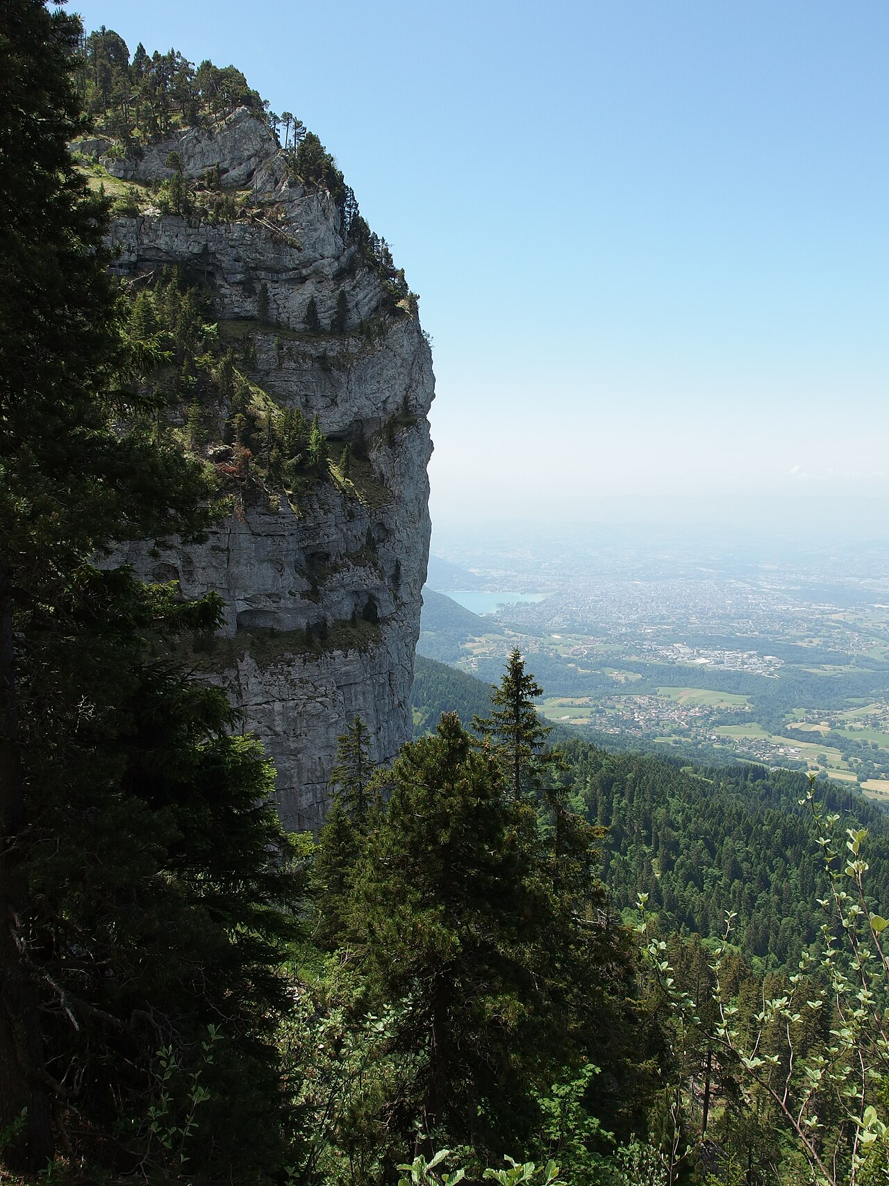
Iconic summit of Parmelan at 1,832 m with panoramic views over Annecy, its lake and Mont-Blanc. Free access via marked trails from Villaz or Dingy-Saint-Clair.
 Free
Free
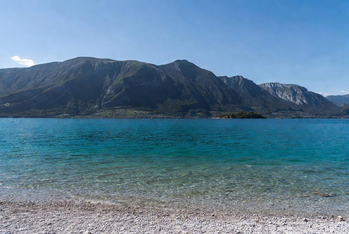
Free public leisure area open year-round at Aviernoz (Fillière), at the foot of the Parmelan: children's playground, picnic tables, barbecue. Pets welcome.
 Free
Free
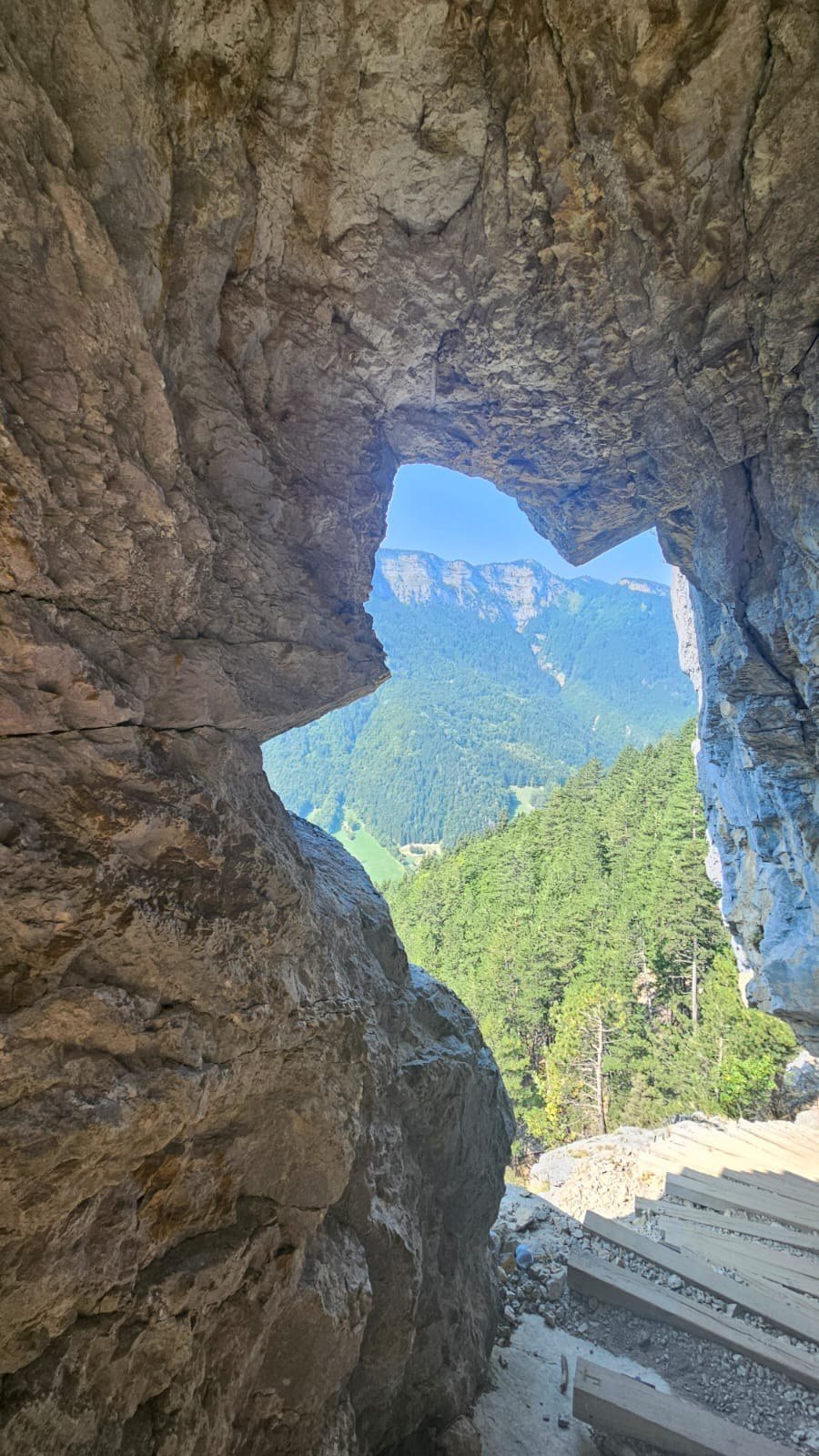
Historical trail on the Plateau des Glières via the Pas du Roc: cliff steps cut in 1830 by Spanish republican refugees, then a Maquis route in 1944.
 Paid
Paid
Playful 7-module wooden-ball trail at La Clusaz: from the Patinoire cable car top down to the Bossonnet woods. Mountain summer.
 Free
Free
GR® 96 Aix-les-Bains → Samoëns: 207 km total including 80 km in Haute-Savoie, crossing the Bornes, Aravis, Arve valley and Giffre.