 Paid
Paid
Centre Nautique Guy Châtel
Ayse
Aquatic centre in Ayse near Bonneville: 25 m sports pool, learner pool, paddling pool and outdoor leisure area with slide in summer.
GR® 96 Aix-les-Bains → Samoëns - 207 km total including 80 km in Haute-Savoie crossing the Bornes, Aravis, Arve valley, Giffre. Recommended section.

The GR® 96 Bornes-Aravis is a long-distance hiking trail running from Aix-les-Bains (Savoie) to Samoëns (Haute-Savoie), a total of 207 km. Around 80 km lie in Haute-Savoie, crossing some of the region's most iconic ranges.
The Haute-Savoie section threads through the Bornes massif (via the Col de Bluffy), the Aravis (Saint-Jean-de-Sixt, Le Grand-Bornand), then descends towards the Arve valley and rises again into the Giffre. It is the recommended replacement for the unofficial 'Sentier des Bornes Saint-Pierre-en-Faucigny', and is the official GR through this corner of the Northern French Alps.
Free year-round access. Difficulty moderate to difficult. Length 207 km total · ~80 km in 74, full trail 6–8 days. Best season: June to October. Not wheelchair-accessible (alpine trail).
Saint-Pierre-en-Faucigny (74800) reachable by car from Annecy/Geneva/Sallanches depending on your starting point. Free parking at the start of the GR® 96 Bornes-Aravis. Follow local signage.
Open in MapsPublic transport depending on seasonal line to Saint-Pierre-en-Faucigny. Léman Express + Haute-Savoie regional coaches + Mont-Blanc Express depending on area. Check seasonal timetables.
Open in MapsCycling recommended on greenways where applicable. For footpaths, cycling is not recommended on the GR® 96 Bornes-Aravis.
Open in MapsBeen there? Share your photos — we'll add them to this page with credit. Tag #loisirs74 or email photos@loisirs74.fr
No. Access to the GR® 96 Bornes-Aravis is free year-round for everyone. No ticketing, no toll. Permanent access depending on season and weather conditions.
The GR® 96 Bornes-Aravis is 207 km total · ~80 km in the 74. Average duration 6-8 days end to end depending on fitness. Moderate to difficult. Route type: long-distance hiking trail (GR®).
The GR® 96 Bornes-Aravis has free access 24/7 year-round. Recommended season June-October. Verified on the official website on 24 May 2026 — subject to seasonal changes.
The GR® 96 Bornes-Aravis is moderate to difficult. Length 207 km total · ~80 km in the 74. Duration 6-8 days end to end. Altitude 500 m to 2,200 m (Bornes-Aravis passes). Suited to experienced hikers.
Wheelchair access: NO (alpine trail) for the GR® 96 Bornes-Aravis. Check conditions on site. For wheelchair alternatives see the Lac d'Annecy greenway or the Sentier des Roselières in Saint-Jorioz if inaccessible.
Recommended season for the GR® 96 Bornes-Aravis: June-October. Off-season conditions vary by altitude and snow cover. Check conditions with the local Tourist Office before setting off.
The GR® 96 Bornes-Aravis starts from Saint-Pierre-en-Faucigny (74800). Car access recommended for the start point. Free parking at trailheads. Public transport depending on line and season.
Multi-source verification at publication. Information may change — confirm with the official operator before travelling.
Nearby
Other places to explore in the area and in the same category
Paid
Aquatic centre in Ayse near Bonneville: 25 m sports pool, learner pool, paddling pool and outdoor leisure area with slide in summer.
 Paid
Paid
Ciné Château is Bonneville's municipal cinema, digitally equipped and open year-round to the Faucigny community. Faucigny municipal cinema — national releases, fam
 Paid
Paid
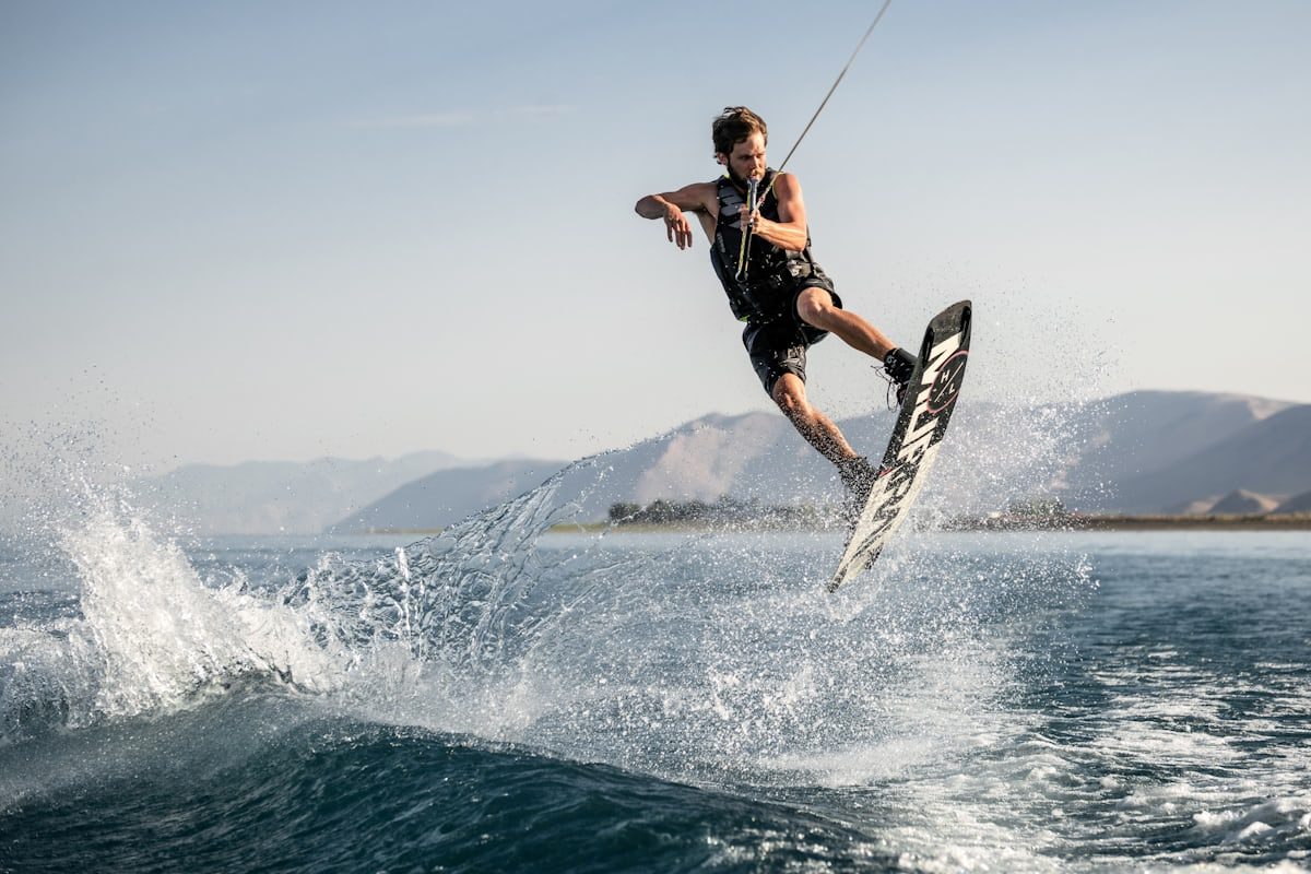
TNA Cable Park at Arenthon: the only true cable wakeboard park in Haute-Savoie. Cable-towed wakeboarding on a lake, with consistently flat water and longer sessions than boat-towed riding.
 Free
Free
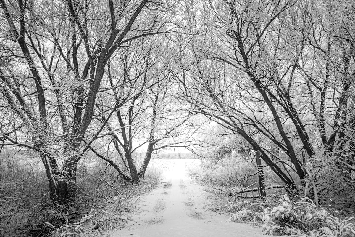
Family-friendly accessible loop around the lake of Le Môle at La Tour (74): ≈ 1.6 km, 21 m of climb, woodland and lake at the foot of Le Môle (1,863 m).
 Free
Free
Interpretation trail on the Plateau des Glières, a major site of the French Resistance: 11 panels and the national monument by Gilioli (1973) at Thorens-Glières.
 Free
Free
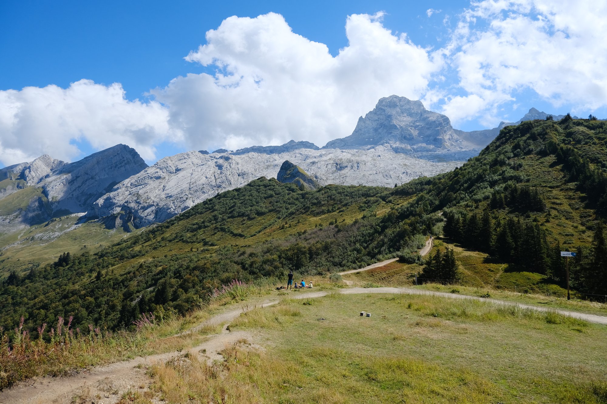
Aravis interpretive trail from the Col des Annes to the Refuge de la Pointe Percee: 4 geological stations, 10 landscape windows, free shuttles in summer.