
 Free
Free
GR® de Pays Littoral du Léman
Saint-Gingolph
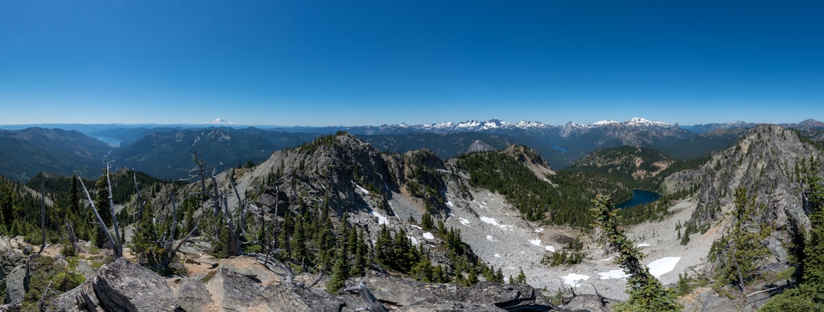
GR® de Pays du Littoral du Léman: 50 km in four stages from Saint-Gingolph to Champanges via Meillerie and Évian, on panoramic balconies above the lake.
145 km in Haute-Savoie along EuroVelo 17, the ViaRhôna: from Lake Léman at Saint-Gingolph to the Rhône at Seyssel, passing through Évian, Thonon, Bonneville, Cluses and Sallanches.

The ViaRhôna Haute-Savoie is the Haute-Savoie section of EuroVelo 17 (EV17), the international cycle route linking Lake Geneva to the Mediterranean over 815 km in total. According to the Conseil départemental, Haute-Savoie counts 145 km between Saint-Gingolph and Seyssel. The route is a mix of dedicated greenways (around 60%) and low-traffic shared roads (around 40%), fully signposted with the ViaRhôna logo and the EV17 EuroVelo symbol.
The main Haute-Savoie stages are: 1) Saint-Gingolph to Thonon-les-Bains (30 km via Évian-les-Bains, shared road and a 2 km greenway into Thonon); 2) Thonon to Chens-sur-Léman (26 km through the Bas-Chablais via the medieval village of Yvoire); 3) Chens to Annemasse, then south through Annecy, Cluses, Sallanches and Seyssel - connecting with the V61 'Léman au Mont-Blanc' route around Cluses.
Free access all year. Difficulty: easy. Distance: 145 km Haute-Savoie section, around 2-3 days by bike. Best season: April to October. Mostly accessible for visitors with reduced mobility on the greenway sections; shared roads require road-legal bikes. Free parking at the main waypoints.
Start at Saint-Gingolph via D1005 from Geneva (50 min, 50 km) or Thonon-les-Bains (20 min, 20 km). Intermediate access points at Évian, Thonon, Bonneville, Cluses, Sallanches via dedicated A40 exits. Free parking at SNCF stations.
Open in MapsLéman Express (the Franco-Swiss regional rail service) serves Saint-Gingolph, Évian, Thonon, Bons-en-Chablais, Annemasse, Bonneville — all stations are immediately adjacent to the ViaRhôna Haute-Savoie. Bikes carried free on trains.
Open in MapsThe ViaRhôna Haute-Savoie is itself the main cycling axis. Connections: Véloroute V61 Léman-Mont-Blanc at Sallanches, Genevois greenway at Annemasse, Tour du Léman by bike on the Swiss side, EV17 on the Savoie side at Seyssel.
Open in MapsFree at main access points (stations, tourist offices)
Parking checked on 2026-06-15 · © les contributeurs d'OpenStreetMap sous licence ODbL
Been there? Share your photos — we'll add them to this page with credit. Tag #loisirs74 or email photos@loisirs74.fr
No. Access to the ViaRhôna Haute-Savoie is free and open 24/7, year-round, for all users. No toll, no usage fee. Free official map available for download at viarhona.com.
According to hautesavoie.fr, the ViaRhôna Haute-Savoie covers 145 km between Saint-Gingolph (south shore of Léman) and Seyssel (Rhône). The northern section of the EV17 EuroVelo Léman-Mediterranean route (815 km total).
The ViaRhôna Haute-Savoie in 6 stages: Saint-Gingolph → Thonon (30 km), Thonon → Chens-sur-Léman (26 km), Annemasse → Bonneville (12 km), Bonneville → Cluses (16 km), Cluses → Sallanches (16 km), Vulbens → Seyssel.
Partially. The ViaRhôna Haute-Savoie is wheelchair-accessible on the ~60% of the route that runs on dedicated greenways. The ~40% on shared roads is not guaranteed accessible. The Cluses-Sallanches stage, 16 km, is entirely accessible.
The Seyssel-Motz footbridge on the ViaRhôna Haute-Savoie was inaugurated on 4 May 2024 (98 m long). According to savoie.fr, it allows safe crossing of the Fier river on foot or by bike, ensuring continuity between 74 and 73.
Allow 3 to 4 leisurely cycling days for the full 145 km of the ViaRhôna Haute-Savoie. Daily stages are possible depending on the cyclist's fitness. An electric bike is recommended for the hillier sections.
The ViaRhôna Haute-Savoie passes through Évian-les-Bains (thermal baths), Thonon-les-Bains (Château de Ripaille, Tour des Langues), Yvoire (medieval village), Excenevex (beach), Sallanches (Château des Rubins).
At Sallanches, the ViaRhôna Haute-Savoie connects to the Véloroute V61 Léman-Mont-Blanc to reach Chamonix (50 km on the 74 side). A complete cycling network across the Arve valley — Mont-Blanc reachable by bike.
Multi-source verification at publication. Information may change — confirm with the official operator before travelling.
Nearby
Other places to explore in the area and in the same category
Free
GR® de Pays du Littoral du Léman: 50 km in four stages from Saint-Gingolph to Champanges via Meillerie and Évian, on panoramic balconies above the lake.
 Free
Free
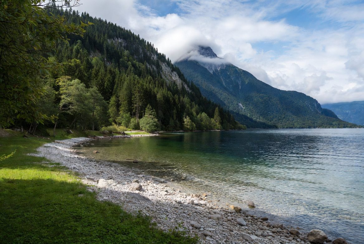
Blue Flag 2026, a first (Teragir ranking, first year). The last French village before Switzerland, on the Franco-Swiss border. Peaceful, away from the crowds.
 Paid
Paid
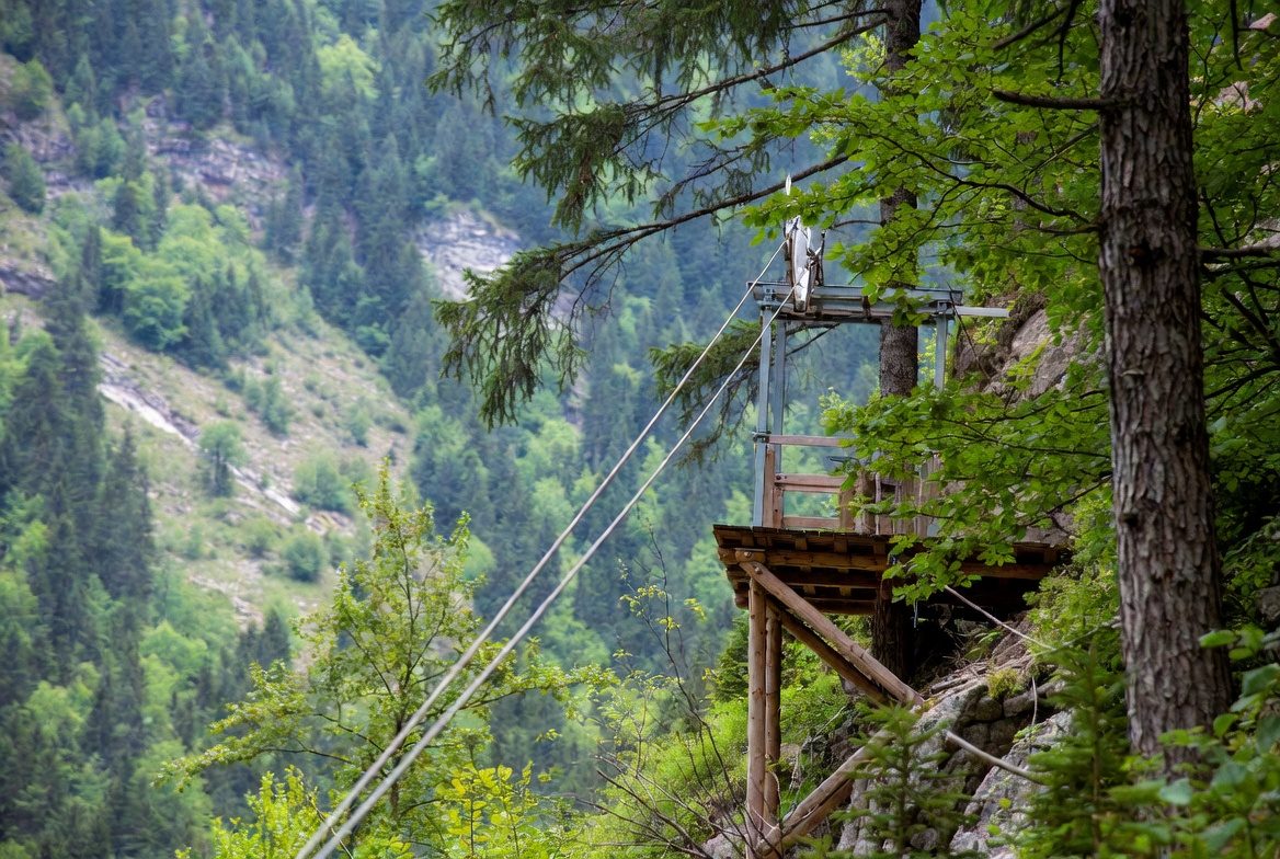
Franco-Swiss tree-climbing park at Saint-Gingolph: 10 courses, 140 challenges, smugglers' zip-line and outdoor laser game. From age 2, 20 min from Évian.
 Free
Free
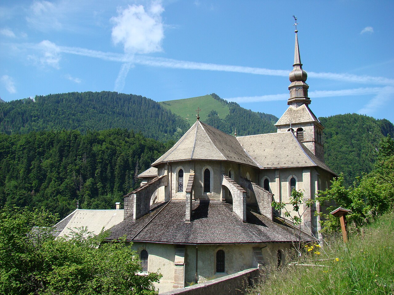
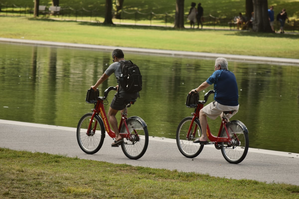
Former railway converted into a greenway in the Abondance Valley: ~22 km of gentle path, ideal for family cycling, walking and prams.
 Free
Free
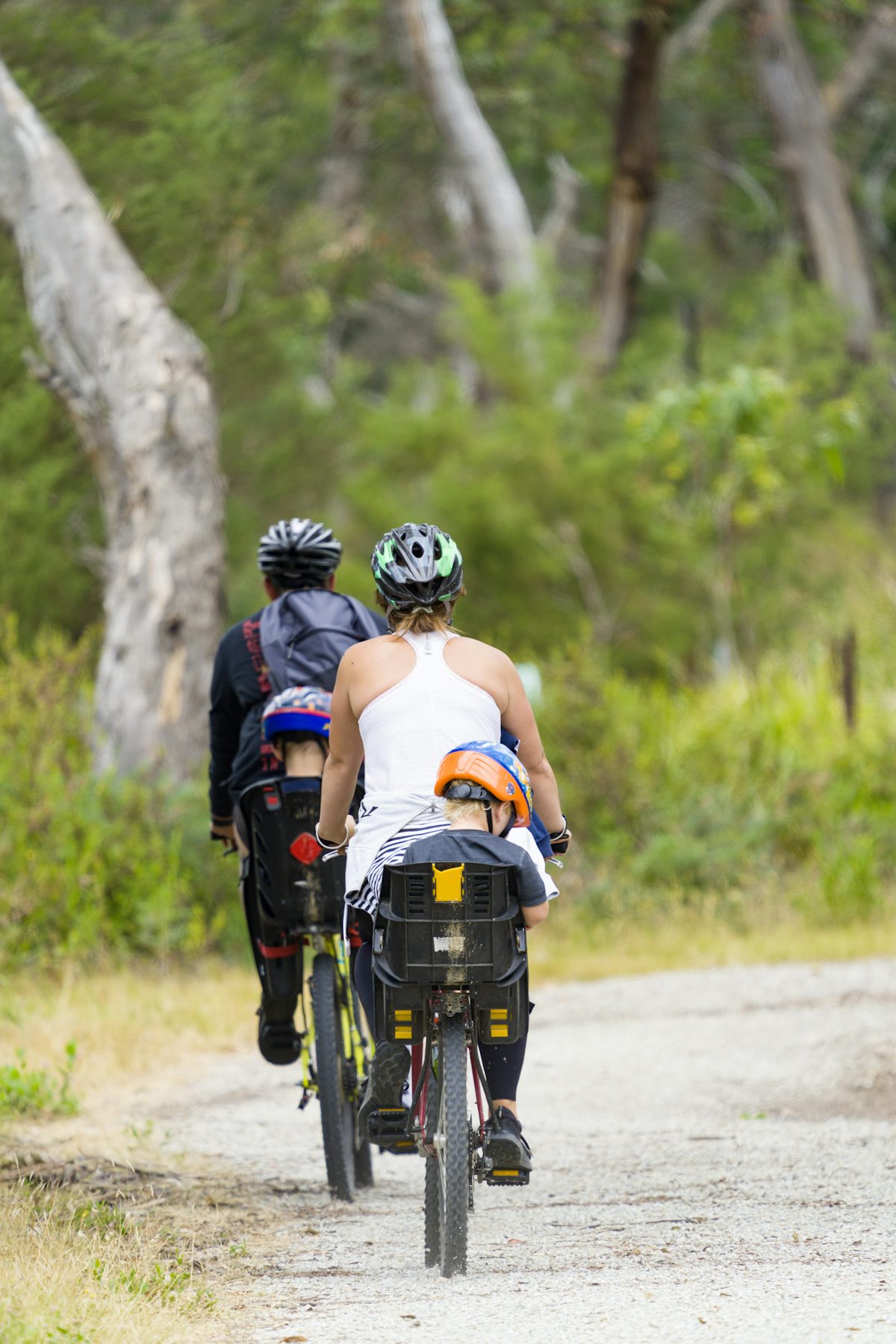
40 km of greenway from Bonneville to Sallanches via Cluses on the V61 Lake Geneva-Mont-Blanc route. Arve footbridge opened December 2019, smooth asphalt, flat.
 Free
Free
5 km family loop along the Arve between Cluses and Thyez, leading to a leisure lake at the end - flat, wheelchair-accessible greenway in Haute-Savoie.