
 Free
Free
Tour of Abondance Village
Abondance
Very easy 1 h 30 family walk at Abondance: village centre, abbey, Maison du Fromage and a loop along the Dranse. Map available at the Tourist Office.
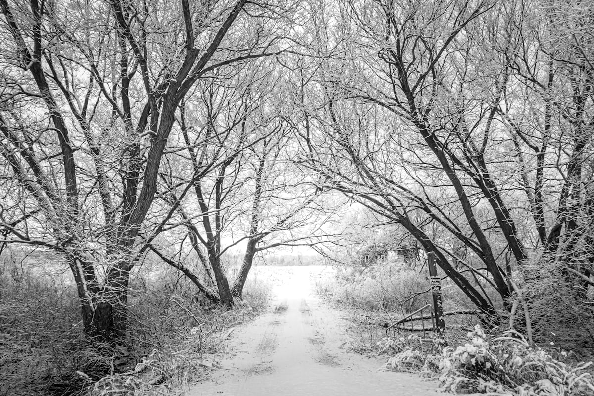
Former railway turned greenway in the heart of the Abondance Valley: ~22 km open to walking and cycling for families.

The Chablais greenway, also called the Abondance Valley greenway, follows the former railway linking Évian to the upper Abondance Valley, closed in the 1980s. Its developed section descends from upper Abondance toward Lake Geneva over roughly 22 km, in several segments.
The very gentle profile — inherited from the railway — makes it one of the most family-friendly walks in the Chablais. The surface is partly asphalt, partly stabilised gravel. The greenway crosses villages, low pastures, wooden bridges and old tunnels, follows the Dranse d'Abondance and lets you discover the valley's heritage: Abondance and its abbey, La Chapelle-d'Abondance, Vacheresse, Bonnevaux.
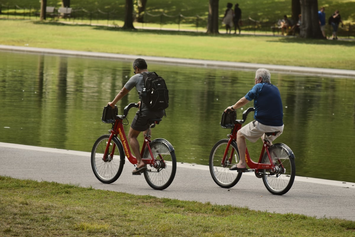
Ideal for cycling (road, hybrid, e-bike rentals available locally), it also suits walking, roller-skating on the asphalt sections and prams. Picnic areas, fountains and benches dot the route. Free access; dogs on a leash welcome.
From Annecy: A41 + A40 to Annemasse, then D1005 to Thonon, then D902 to Abondance, about 1h30. From Geneva: D1005 along Lake Geneva then D902, about 1h15.
Open in MapsY'BUS / regional lines from Thonon to Abondance and La Chapelle (seasonal; limited outside summer and winter).
Open in MapsConnects with ViaRhôna (EV17) along Lake Geneva via Thonon.
Open in MapsBeen there? Share your photos — we'll add them to this page with credit. Tag #loisirs74 or email photos@loisirs74.fr
No, free along the whole route.
Very gentle, inherited from the railway: low and regular, ideal for everyone.
Several rental shops in Abondance and La Chapelle-d'Abondance offer hybrid, MTB and e-bikes. The tourist office can advise.
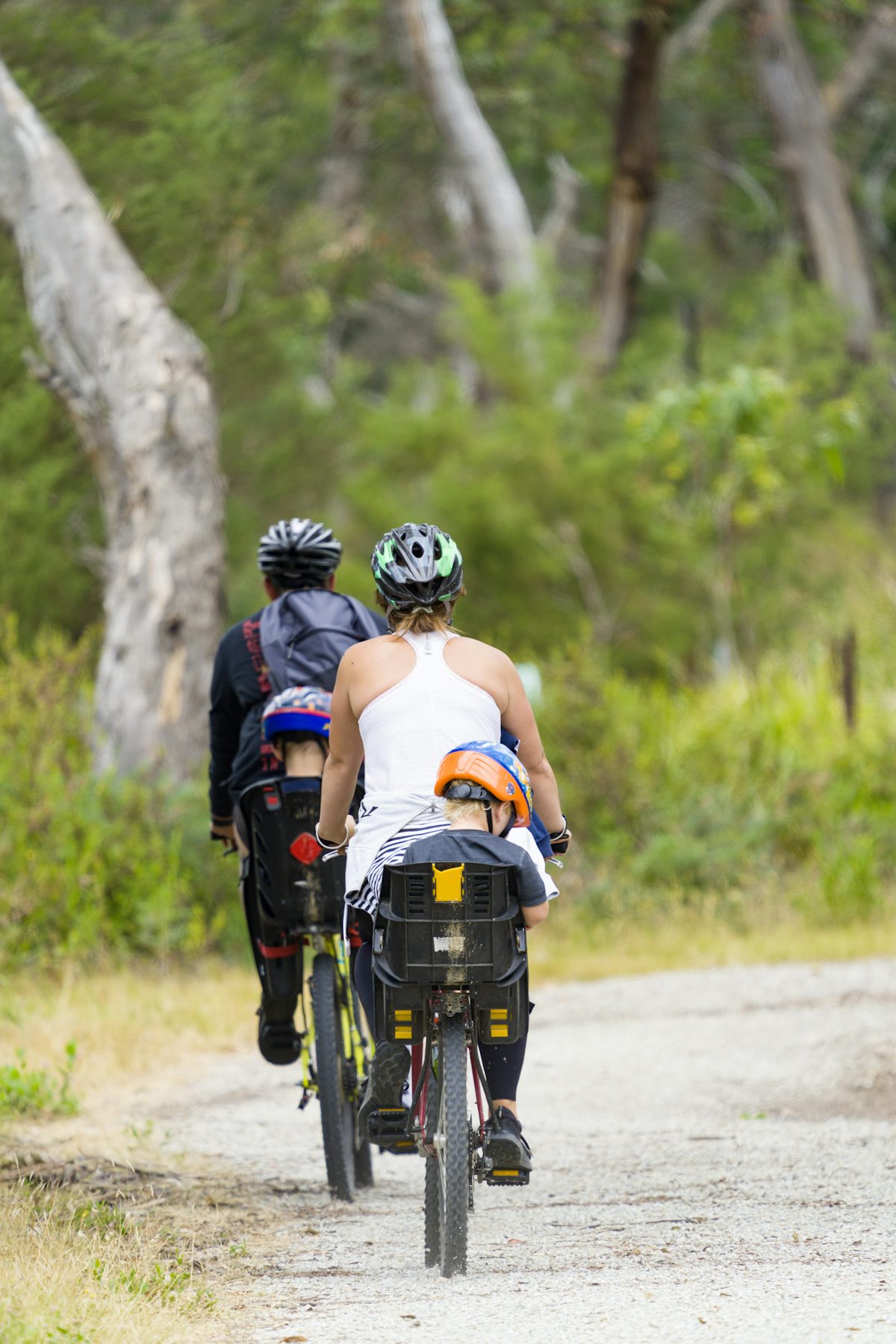
Yes on most of the route, on a smooth surface. All-terrain stroller recommended.
Yes, on a leash.
Fountains and public toilets in the villages crossed (Abondance, La Chapelle, Vacheresse).
Plan 2-3 hours of cycling round trip on the main segment, or a full day if you combine village visits.
Multi-source verification at publication. Information may change — confirm with the official operator before travelling.
Nearby
Other places to explore in the area and in the same category
Free
Very easy 1 h 30 family walk at Abondance: village centre, abbey, Maison du Fromage and a loop along the Dranse. Map available at the Tourist Office.
 Paid
Paid
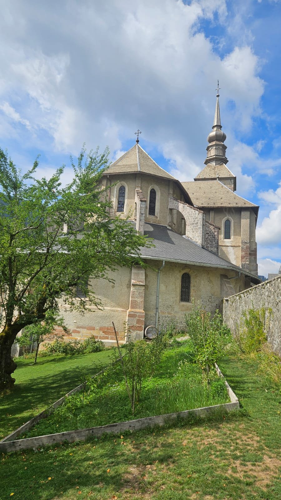
Abbey founded in 1108, cloister with 15th-century wall paintings and a sacred-art exhibition. Admission €6, DUO ticket with the Cheese House €10. Open year-round except 31 Oct–20 Dec.
 Paid
Paid
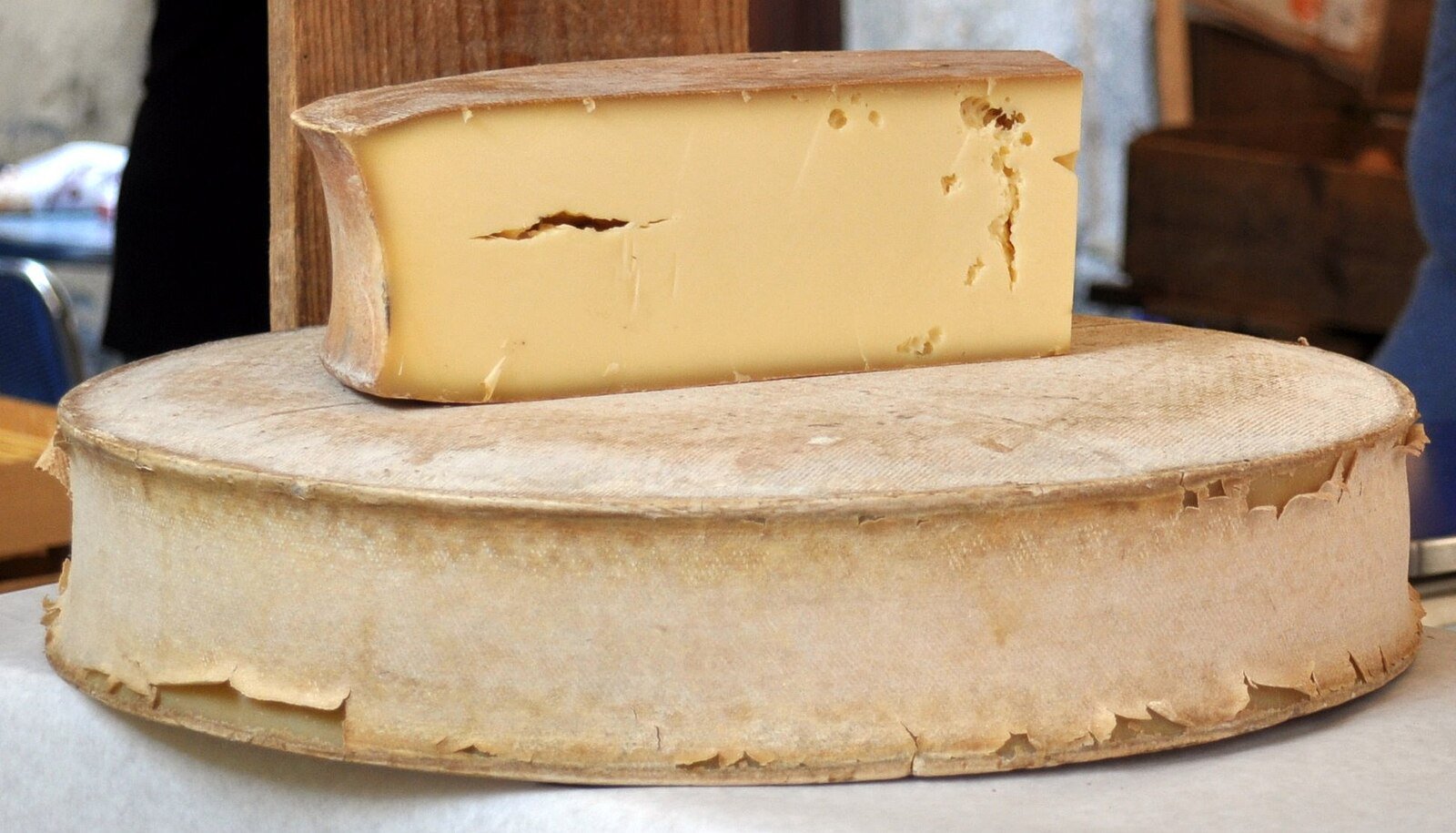
Museum of AOP Abondance cheese: sensory route from alpine pastures to ripening cellars, tasting included. €5.50 adult, DUO Abbey ticket €9.
 Free
Free
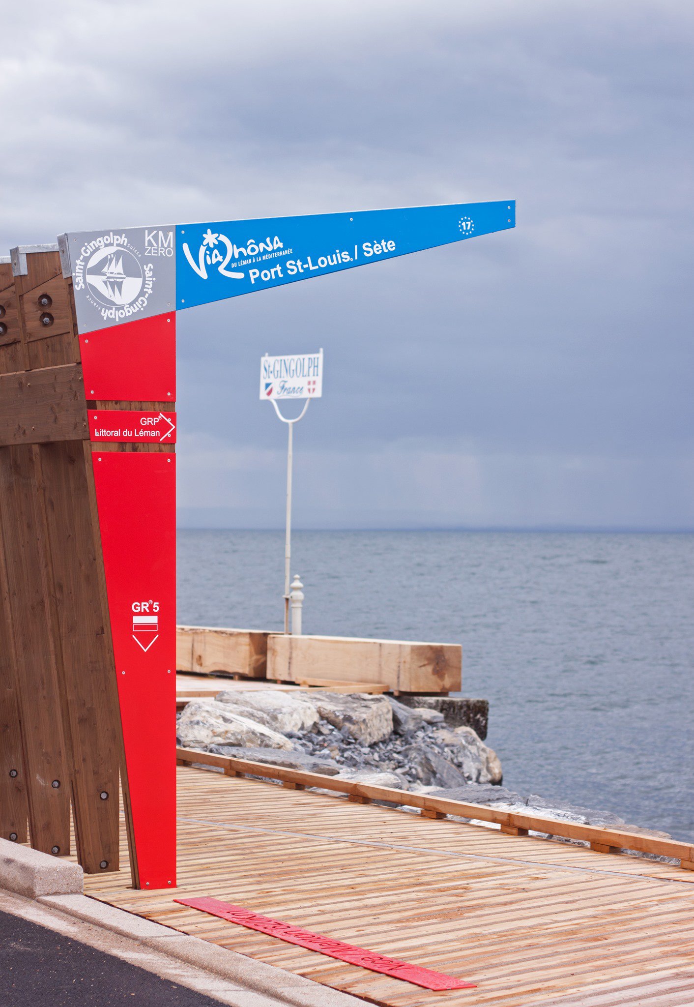
145 km from Saint-Gingolph (Lake Geneva) to Seyssel (Rhône) via Évian, Thonon, Cluses and Sallanches. EuroVelo 17, mix of greenways and shared roads.
 Free
Free
40 km of greenway from Bonneville to Sallanches via Cluses on the V61 Lake Geneva-Mont-Blanc route. Arve footbridge opened December 2019, smooth asphalt, flat.
 Free
Free
5 km family loop along the Arve between Cluses and Thyez, leading to a leisure lake at the end - flat, wheelchair-accessible greenway in Haute-Savoie.