
 Paid
Paid
Bun-J-Ride Saint-Jean-de-Sixt
Saint-Jean-de-Sixt
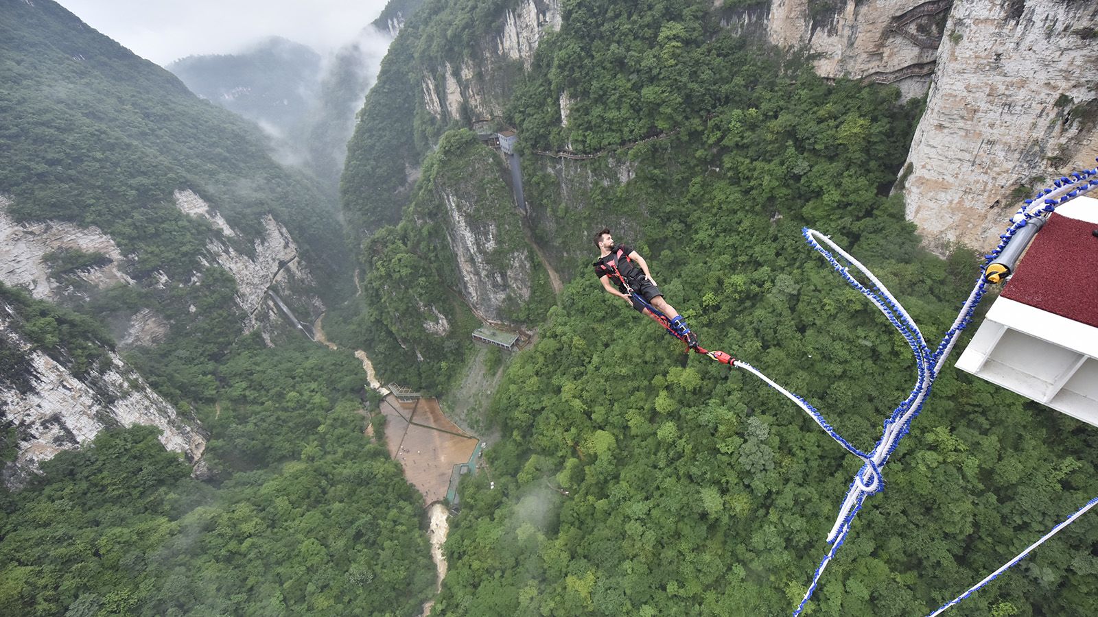
Bun-J-Ride at Saint-Jean-de-Sixt: supervised giant swing in the Aravis, big thrills guaranteed. Seasonal, by reservation.
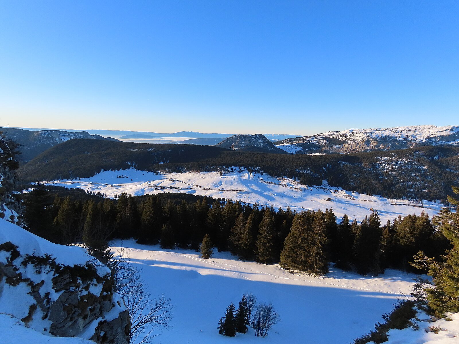
Panoramic pass between Manigod and La Clusaz, appreciated by Tour de France cyclists, family ski resort in winter, starting point for hikes on the Beauregard plateau in summer.
Location verified by loisirs74.fr
The Col de la Croix-Fry (1,477 m) connects the Thônes valley to La Clusaz through the Aravis massif. It is a road pass highly appreciated by cyclists — climbed six times by the Tour de France — offering two ascent routes: 13 km at 6.5% from Manigod with sections over 10%, or 18 km at 4.6% via La Clusaz, less steep but longer.
At the summit, you'll discover a welcoming plateau forming a small family ski resort in winter, connected to the Manigod-Merdassier area (25 km of slopes, night skiing). The pass is also the starting point for the Beauregard Nordic area, renowned for its 25 km of cross-country trails facing Mont-Blanc. In summer, it's a prime starting point for hikes to the Croix de Colomban (1,690 m), l'Étale (2,483 m) or la Tournette, as well as for mountain biking and e-bike tours.
Several hotels and restaurants at the pass offer dining or accommodation with panoramic views of the Aravis and Tournette. Free parking, year-round cleared road. An ancient menhir, witness to Celtic history, stands at the summit.
From Annecy (30 km, 45 min): D909 via Thônes, then D16 via Manigod or La Clusaz. Free parking at the pass (can be saturated in high season).
Open in MapsFree shuttles in summer from Thônes to La Clusaz then Croix-Fry. In winter, resort shuttles. No direct public transport from Annecy.
Open in MapsVia Manigod: 13 km at 6.5% average from Thônes (difficult sections at 10%). Via La Clusaz: 18 km at 4.6% from Thônes (more regular). Road in good condition, little traffic.
Open in MapsTransport data verified on 2026-06-15 · source transport.data.gouv.fr (Licence Etalab 2.0)
Been there? Share your photos — we'll add them to this page with credit. Tag #loisirs74 or email photos@loisirs74.fr
Multi-source verification at publication. Information may change — confirm with the official operator before travelling.
Nearby
Other places to explore in the area and in the same category
Paid
Bun-J-Ride at Saint-Jean-de-Sixt: supervised giant swing in the Aravis, big thrills guaranteed. Seasonal, by reservation.
 Paid
Paid
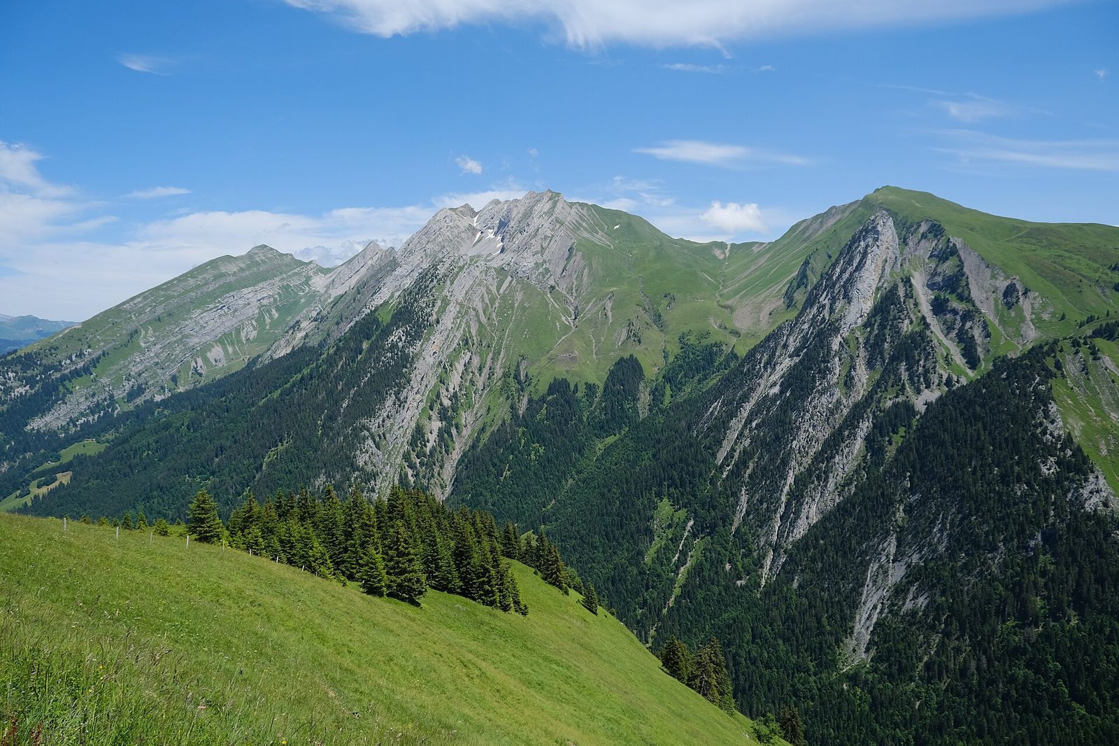
Manigod, a family-friendly village-resort in the Aravis between the Col de la Croix-Fry and Merdassier, linked to La Clusaz (125 km of pistes in total). Ski area, access, off-piste activities.
 Paid
Paid
1,000 m² covered ice rink in La Clusaz, open late December to end April: public sessions, night skating, Monday Eisstock. From €5.
 Free
Free
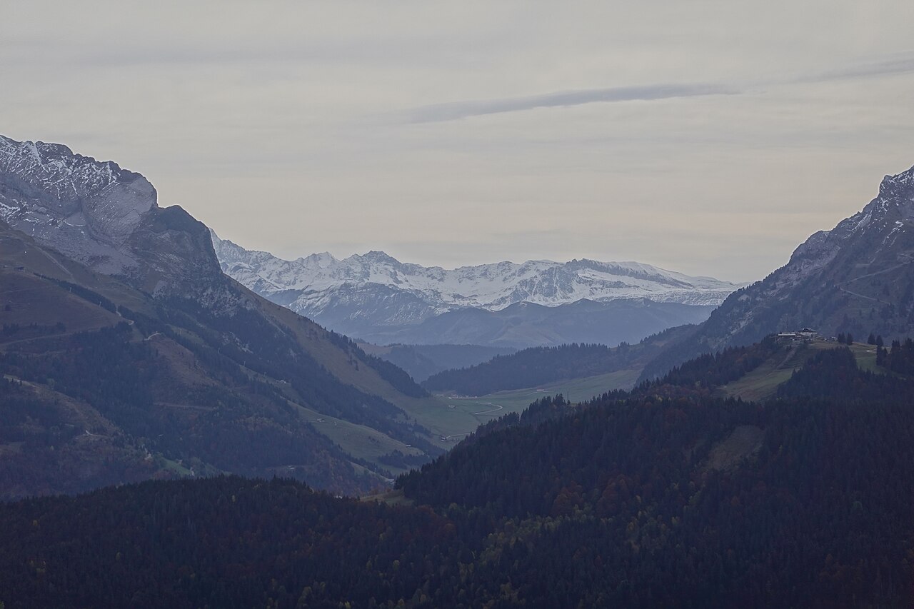
Pass at 1,486 m between La Clusaz and La Giettaz. Mont-Blanc view, chapel, alpine meadows, hiking, Reblochon. Route des Grandes Alpes. Free access D909.
 Free
Free
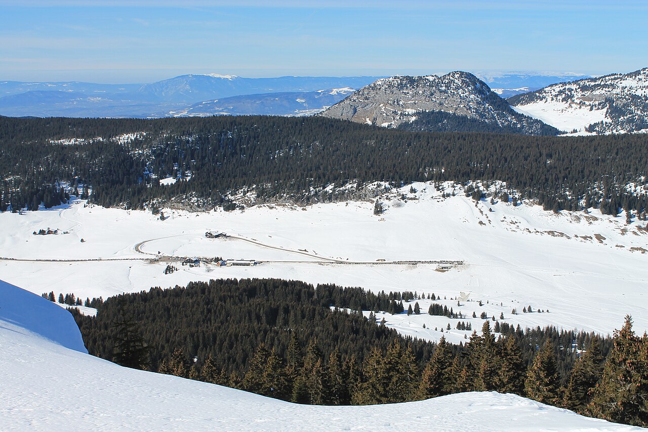
Limestone plateau at 1,450 m altitude, major French Resistance memorial site. National monument, historical trail, cross-country skiing, hiking. Free access.
 Free
Free
High-altitude plateau (1,425 m) and Resistance landmark. National Monument, 50 km of hiking, cross-country skiing, alpine pastures and cheese. Free access year-round.