
Chez Nous à la Plage
Restaurant les pieds dans l'eau sur la plage de Saint-Jorioz. Carte estivale, terrasse face au lac.
AddressPlage de Saint-Jorioz, 74410 Saint-Jorioz
Phone+33 4 50 64 97 23
HoursOuvert mi-février au 1er novembre · Fermé le lundi
A long-distance walking loop around Lac d'Annecy: 80 km and 5,140 m of elevation gain according to FFR, passing by the Semnoz, the Roc des Bœufs and the Tournette.
Location verified by loisirs74.fr
The GR® de Pays Tour du Lac d'Annecy is the official FFRandonnée long-distance walking loop that circles Lake Annecy from the hillsides above. According to the federation, 'its 80 km route with 5,140 m of climb runs through alpine pastures, villages, hamlets, limestone summits and natural parks, taking in some legendary passes including La Tournette'. It is the walking counterpart to the lakeside Voie Verte du Lac d'Annecy greenway.
The classic start is at Le Pâquier in Annecy. Typical stages: Annecy → Le Semnoz (1,699 m) → Roc des Bœufs (1,774 m) → Doussard → refuge de Pré Vérel → La Tournette (2,351 m) → Col de Bluffy → back to Annecy. The trail uses GRP yellow-red waymarking and crosses alpine pastures, villages, limestone summits (the Pre-Alpine ridges) and the Bauges and Bornes natural parks.
Free year-round access. Best season: May to October (passes are often snow-covered outside this window). Mountain refuges €50–70/night half-board, advance booking essential in summer. For experienced hikers — stages of 5–8 hours, 800–1,300 m climb per day. Not wheelchair- or stroller-accessible.
Annecy is accessible from Geneva (45 min, 45 km) via A41, from Lyon (1h45, 140 km) via A41. Parking at the Pâquier d'Annecy limited to 2h free, free long-stay parking at the SNCF train station (10-minute walk from the Pâquier).
Open in MapsAnnecy SNCF station is a 10-minute walk from the Pâquier d'Annecy (starting point of the GR® de Pays Tour du Lac d'Annecy). TGV from Paris (3h30) and Lyon (1h20). SIBRA buses, all lines, 'Bonlieu' stop. Cars Région lake routes.
Open in MapsCycling is not recommended on the GR® de Pays Tour du Lac d'Annecy trail (mountain footpath). See the Voie verte du Lac d'Annecy for the flat 33 km cycling equivalent.
Open in MapsTransport data verified on 2026-06-15 · source transport.data.gouv.fr (Licence Etalab 2.0)
Pâquier d'Annecy, multiple possible starting points
Restaurant les pieds dans l'eau sur la plage de Saint-Jorioz. Carte estivale, terrasse face au lac.
Been there? Share your photos — we'll add them to this page with credit. Tag #loisirs74 or email photos@loisirs74.fr
According to official FFRandonnée sources, the GR® de Pays Tour du Lac d'Annecy is 'an 80 km route with 5,140 metres of elevation gain, leading through alpine pastures, villages, hamlets, limestone peaks and nature parks'.
No. The GR® de Pays Tour du Lac d'Annecy trail is free and open year-round. Only the refuges are paid: €50-70/night half-board (refuge de Pré Vérel, seasonal Tournette refuges).
The GR® de Pays Tour du Lac d'Annecy can be walked in 5 to 7 days depending on fitness. Average stage 12-18 km / 5-8h walking / 800-1,300 m of ascent. Shorter day stages possible (Semnoz, Roc des Bœufs).
The GR® de Pays Tour du Lac d'Annecy is mainly walked from May to October. Lower stages are passable year-round. The Tournette passes are snow-covered November-April. Best season: June and September-October.
The GR® de Pays Tour du Lac d'Annecy follows the limestone peaks of the Préalpes: Semnoz 1,699 m, Roc des Bœufs 1,774 m, Col de la Tournette 2,351 m. 360° panoramic views over the lake and the Bauges and Bornes massifs.
The Voie verte du Lac d'Annecy is a flat, 33 km cycling route along the west shore, wheelchair accessible. The GR® de Pays Tour du Lac d'Annecy is an 80 km walking route over the heights with 5,140 m of ascent. Together they cover the whole lake.
No. The GR® de Pays Tour du Lac d'Annecy is not wheelchair or pushchair accessible: it is a mountain trail with 5,140 m of cumulative ascent and passes above 2,000 m. For reduced mobility, see the Voie verte du Lac d'Annecy.
Yes, in the summer season. The refuges on the GR® de Pays Tour du Lac d'Annecy (refuge de Pré Vérel, seasonal Tournette refuges) fill up in July-August. Booking from April-May is advisable.
Multi-source verification at publication. Information may change — confirm with the official operator before travelling.
Nearby
Other places to explore in the area and in the same category
 Free
Free
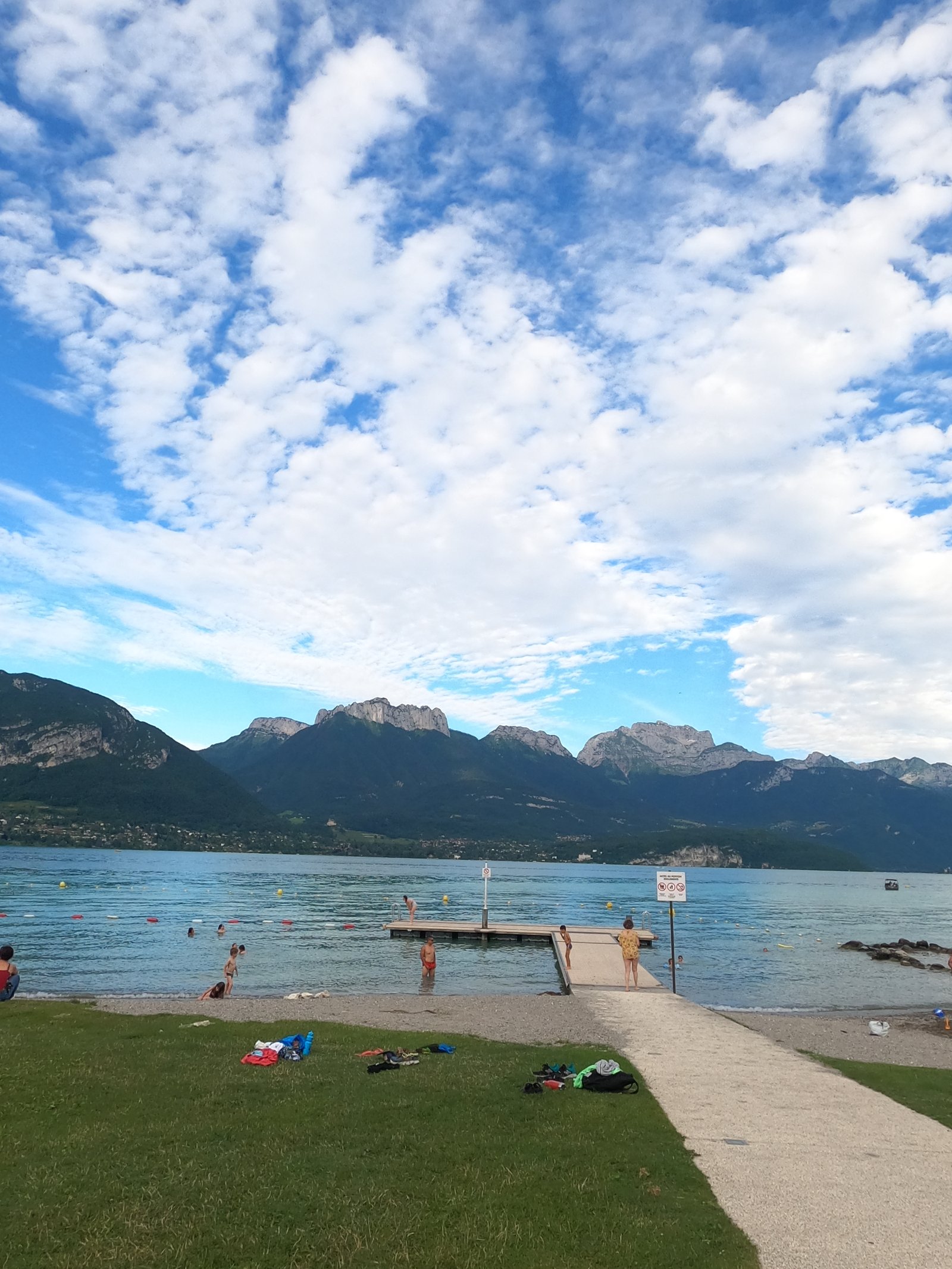
Recently renovated lawn and fine gravel beach on the west shore of Lake Annecy. 94 bike spaces, direct access to the Voie verte. Ideal for cycling families.
 Paid
Paid
Escape game in Sévrier on Lake Annecy: 3 themed rooms, teams of 2 to 6, board-game bar and axe throwing. From €24 per person.
 Paid
Paid
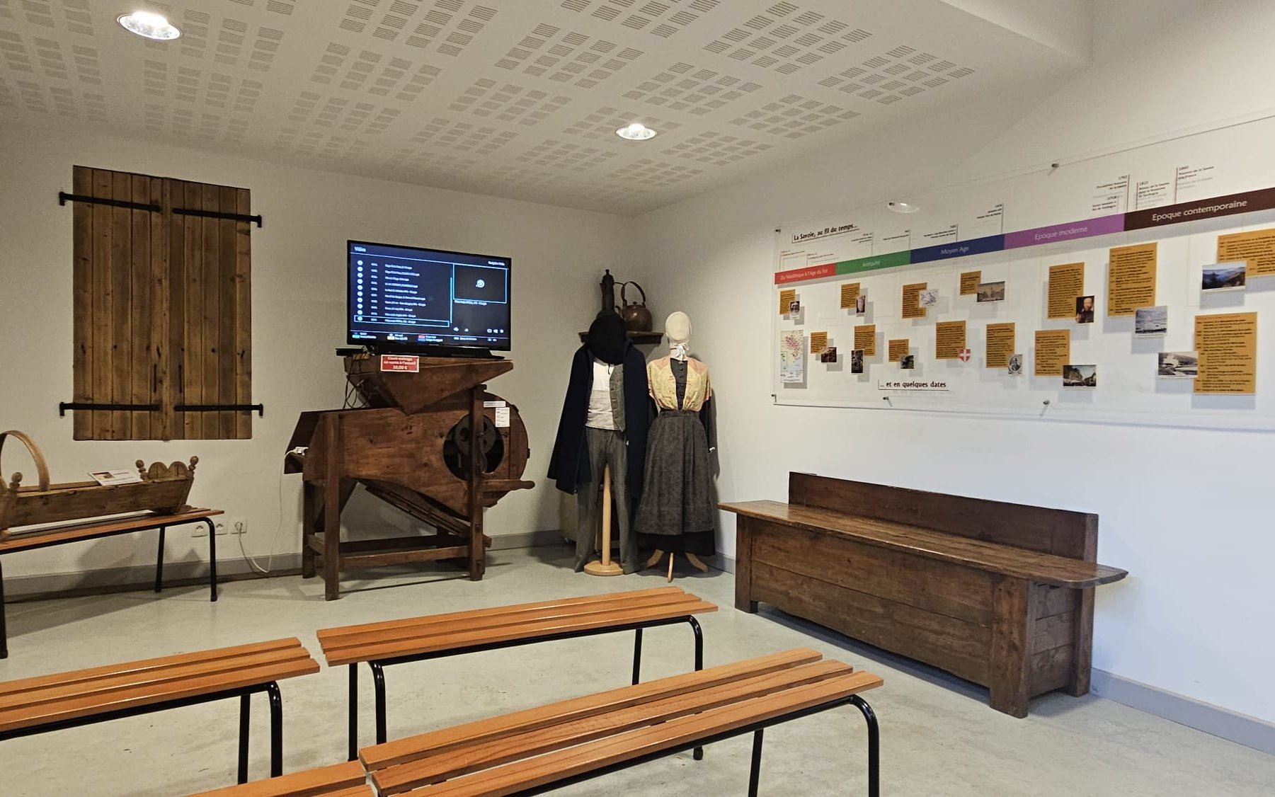
Immersive museum at Sevrier on 19th-century Savoyard life by Lake Annecy: playful trails, puzzle-games for families. Adult €7, family €22.
 Free
Free
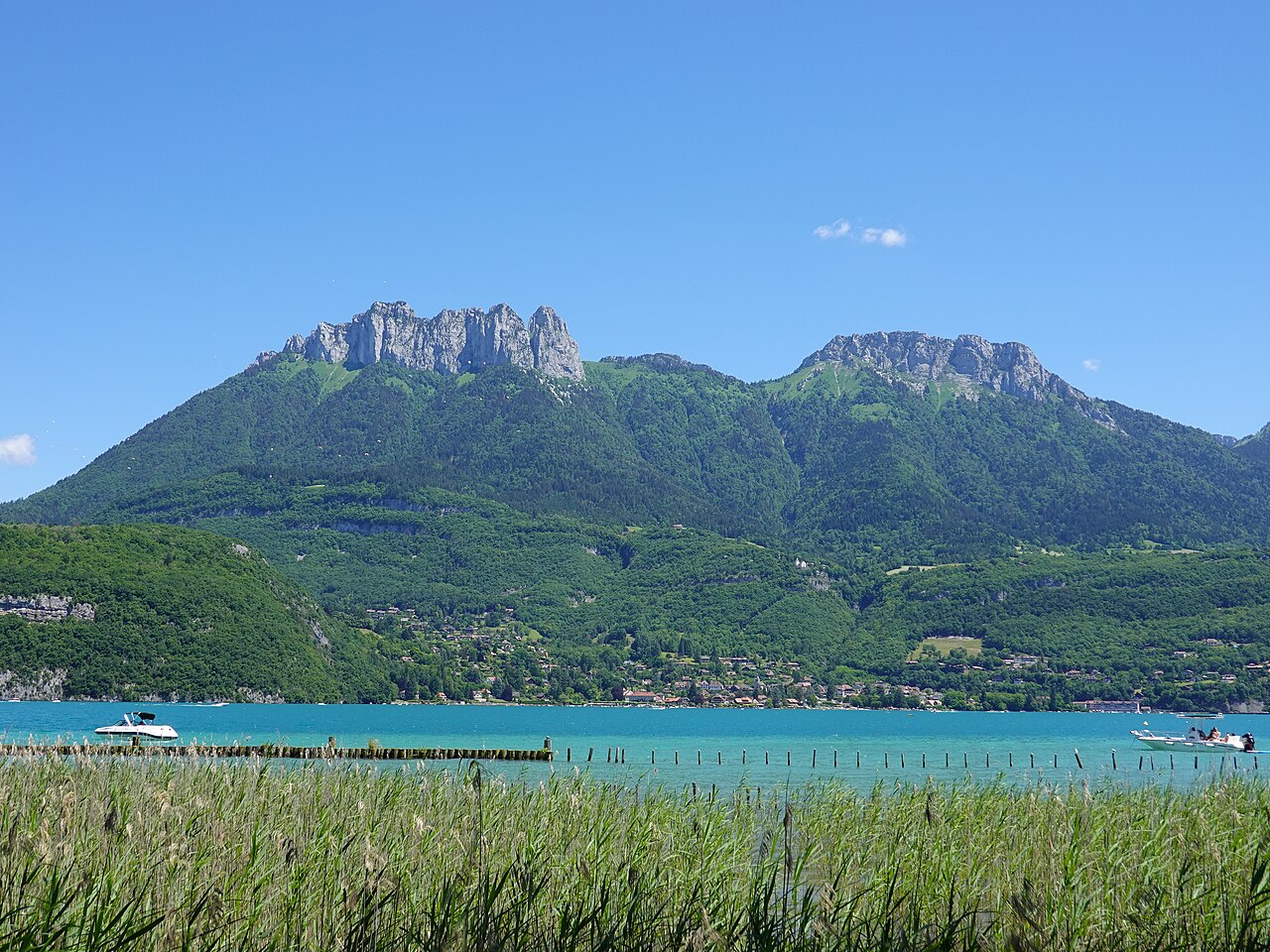
Lakeside wooden walkway through the reedbeds of Lake Annecy at Saint-Jorioz: 1 km loop, free access, interpretation panels, ideal for families.
 Free
Free
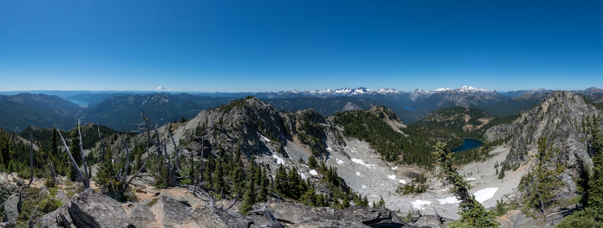
Tournette ascent from Montmin: summit at 2,351 m from the Chalet de l'Aulp, 12 km return and 1,200 m of elevation gain with cabled passages.
 Free
Free
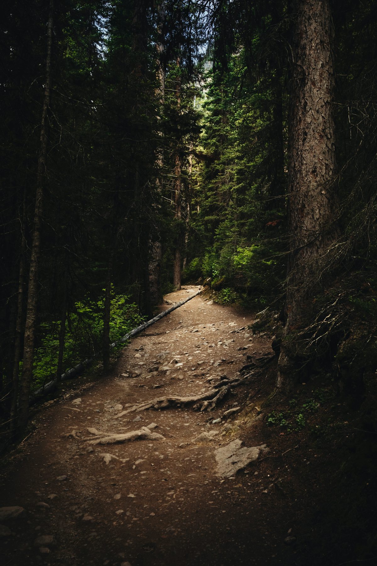
Discovery trail at Doussard through the National Nature Reserve at the south end of Lake Annecy: 1.6 km wheelchair-accessible loop and a longer 7 km loop.