
Chez Nous à la Plage
Restaurant les pieds dans l'eau sur la plage de Saint-Jorioz. Carte estivale, terrasse face au lac.
AddressPlage de Saint-Jorioz, 74410 Saint-Jorioz
Phone+33 4 50 64 97 23
HoursOuvert mi-février au 1er novembre · Fermé le lundi
Ascension classique du sommet de la Tournette 2 351 m depuis le Chalet de l'Aulp à Montmin - 12 km AR / 1 200 m D+ avec passages câblés.

The Sentier de la Tournette depuis Montmin leads to the summit of the Tournette at 2,351 m - the emblematic peak above Lake Annecy and the highest summit of the Bornes-Aravis range. From the Chalet de l'Aulp at Montmin, the alpine route covers 12 km return for 1,200 m of elevation gain, with a few cabled passages in the final section.
The last 200 m to the summit include fixed chains across exposed rock - manageable for a confident hiker with a head for heights but not suitable for young children. The reward is a sweeping 360-degree panorama over Lake Annecy, the Mont Blanc range, the Bauges and the Aravis from one of the most iconic viewpoints of the region.
Free entry all year. Difficulty: difficult (cabled sections). Distance: 12 km return, 1,200 m elevation gain, 6-7 h walking time. Best season: June to October. Paid parking at the Chalet de l'Aulp in season. Not suitable for wheelchairs or pushchairs.
Talloires-Montmin (74290) accessible by car from Annecy/Geneva/Sallanches depending on your starting point. Free parking at the trailhead of the Sentier de la Tournette depuis Montmin. Follow local signage.
Open in MapsPublic transport depending on seasonal route to Talloires-Montmin. Léman Express plus Haute-Savoie regional coaches plus Mont-Blanc Express depending on the area. Check seasonal timetables.
Open in MapsCycling recommended on a greenway if it is a greenway-type route. For walking trails, cycling is not recommended on the Sentier de la Tournette depuis Montmin.
Open in MapsTransport data verified on 2026-06-15 · source transport.data.gouv.fr (Licence Etalab 2.0)
Restaurant les pieds dans l'eau sur la plage de Saint-Jorioz. Carte estivale, terrasse face au lac.
Been there? Share your photos — we'll add them to this page with credit. Tag #loisirs74 or email photos@loisirs74.fr
No. Access to the Sentier de la Tournette depuis Montmin is open and free year-round for everyone. No ticketing, no toll. Route open permanently, subject to season and weather conditions.
The Sentier de la Tournette depuis Montmin is a round trip of 12 km · 1,200 m ascent. Average duration 6-7 h, depending on pace. Difficult (cabled sections). Trail type: alpine trail - classic ascent.
The Sentier de la Tournette depuis Montmin is open access 24/7, year-round. Recommended season: June-October. Verified on the official site on 24 May 2026 — subject to seasonal changes.
The Sentier de la Tournette depuis Montmin is a difficult trail (cabled sections). Length round trip 12 km · 1,200 m ascent. Duration 6-7 h. Altitude from 1,150 m (Chalet de l'Aulp) to 2,351 m (summit). Suitable for experienced hikers.
Accessibility: NO (technical alpine trail) for the Sentier de la Tournette depuis Montmin. Check conditions on site. For an alternative accessible route, see the Voie verte du Lac d'Annecy or the Sentier des Roselières in Saint-Jorioz if this one is not accessible.
Recommended season for the Sentier de la Tournette depuis Montmin: June-October. Off-season conditions vary depending on altitude and snow cover. Check conditions with the local tourist office before travelling.
The Sentier de la Tournette depuis Montmin starts from Talloires-Montmin (74290). Car access recommended for the trailhead. Free parking at the starting points. Public transport depending on the route and season.
Multi-source verification at publication. Information may change — confirm with the official operator before travelling.
Nearby
Other places to explore in the area and in the same category
 Paid
Paid
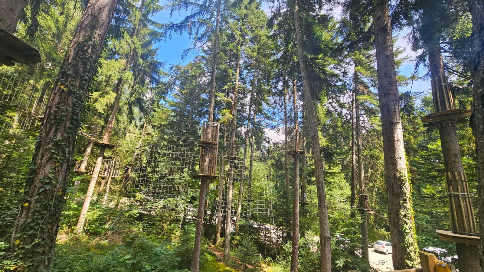
Family adventure park above Lake Annecy: tree-climbing, Acro'Filet, Ninja, Sensory Forest. Book online from €17. Open March to November.
 Free
Free
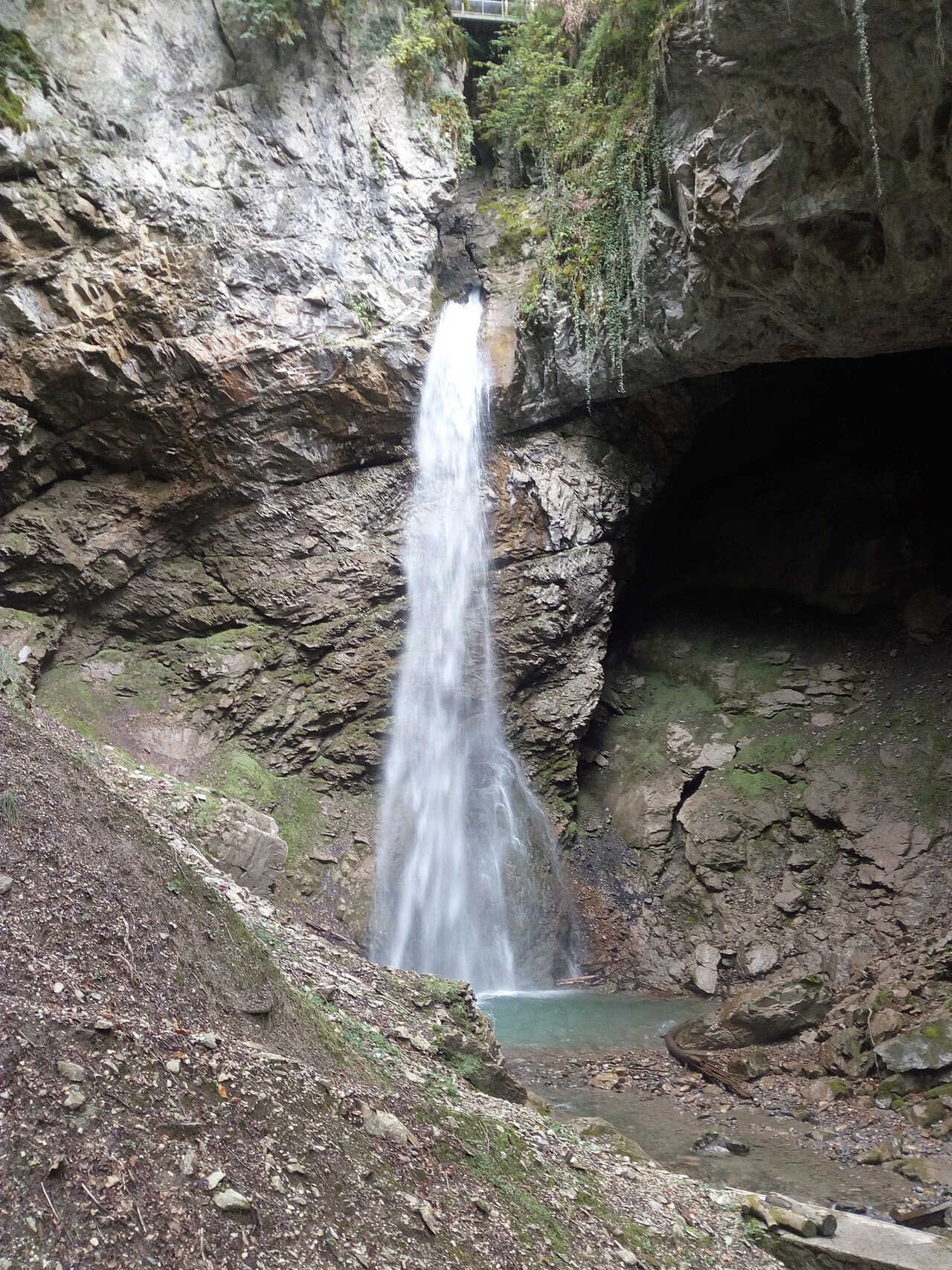
60 m waterfall accessible via secure trail in 30 min to 1 hour from Angon, Vérel or Talloires. Free access year-round above Lake Annecy.
 Free
Free
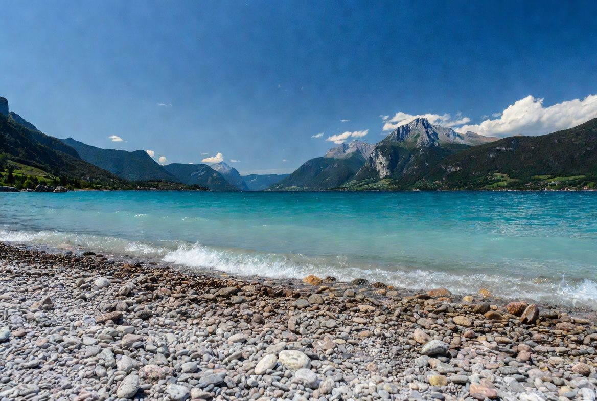
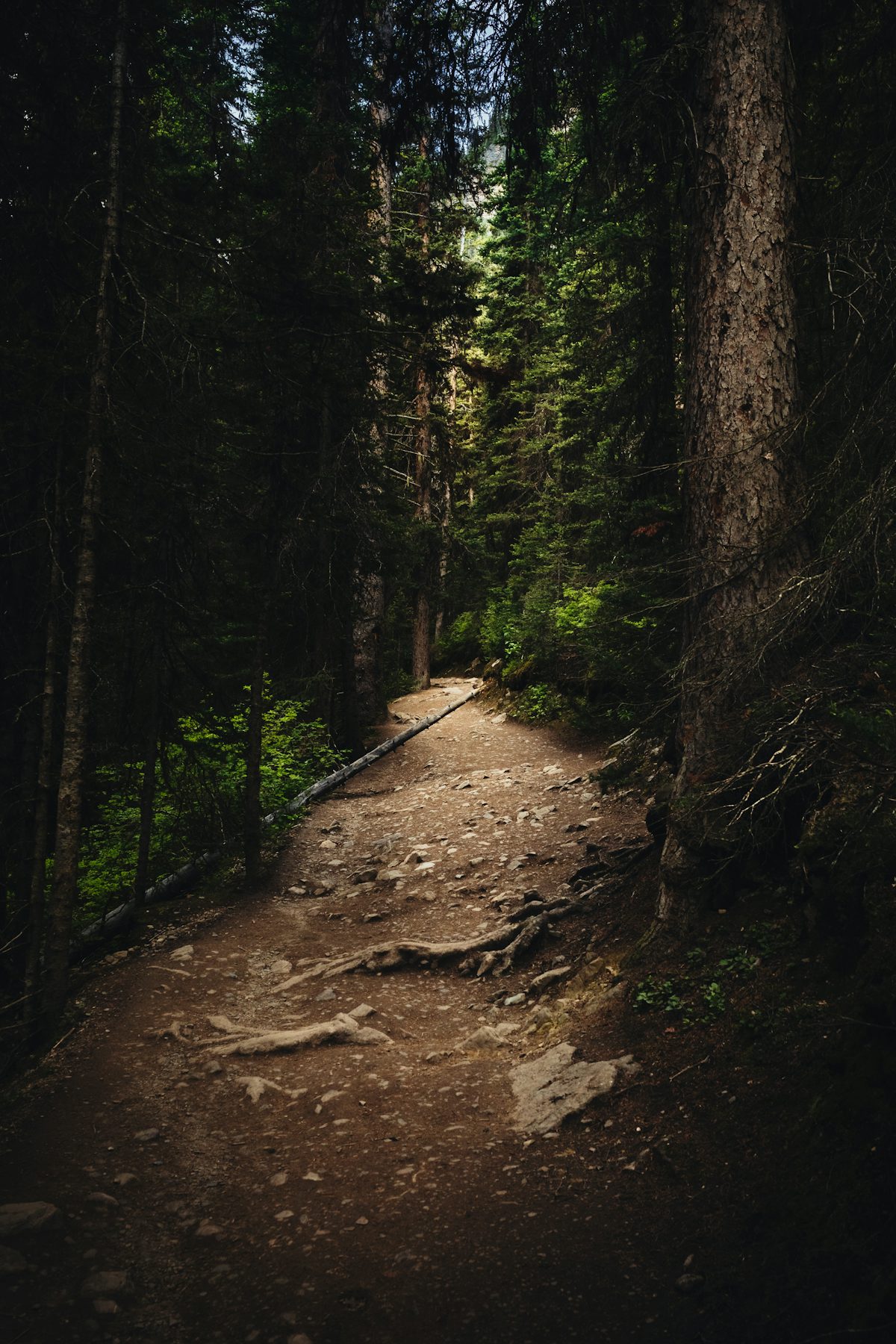
250x200 m sand and lawn beach with paddling pool, diving boards, slide and integrated water-sports centre. Reopens May 2026 after lakefront works. Now free.
 Free
Free
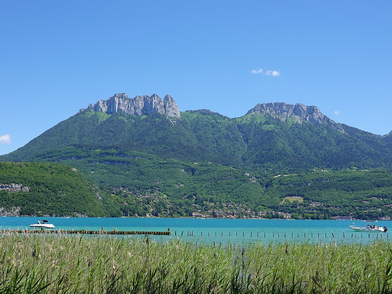
Discovery trail at Doussard through the National Nature Reserve at the south end of Lake Annecy: 1.6 km wheelchair-accessible loop and a longer 7 km loop.
 Free
Free
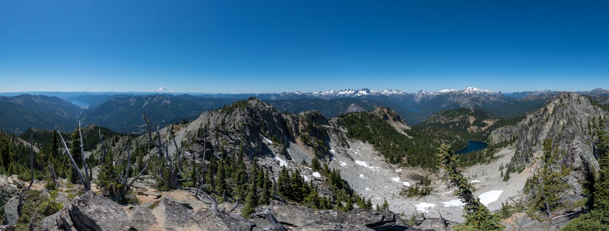
Lakeside wooden walkway through the reedbeds of Lake Annecy at Saint-Jorioz: 1 km loop, free access, interpretation panels, ideal for families.
 Free
Free
FFR 80 km walking loop around Lake Annecy via Semnoz, Roc des Bœufs and La Tournette. 5,140 m climb, 5–7 days. Walking counterpart to the greenway.