
A restaurant in Abondance?
Hosting visitors of Lac des Plagnes Interpretive Trail ? Appear here.
Become a partnerInterpretive trail at the Lac des Plagnes above Abondance: loop around the lake and climb to the Cubourré plateau, panels on 20,000 years of glacial history and a mysterious erratic boulder. Site listed as UNESCO Global Geopark.

The Lac des Plagnes Interpretive Trail is an educational route around the Lac des Plagnes, a charming mountain lake at around 1,170 m altitude, in the commune of Abondance in the Vallée d'Abondance. The trail belongs to the Chablais UNESCO Global Geopark: its interpretive panels explain 20,000 years of landscape evolution, from the great Quaternary glaciers to today's slowly rising peat bogs.
The route begins with a loop around the lake on a flat, shaded path, then continues upstream along the lake's tributary, climbing through the forest beside a waterfall to the Cubourré plateau, drained by a small stream and dominated by the Pointe d'Entre Deux Pertuis and the Chavache. A wide track then leads to a mysterious erratic boulder whose origin is explained on site. The return is by the same direct path to the car park. Allow 2 to 3 hours depending on the option (lake loop alone, or lake loop plus Cubourré climb). Free access, swimming forbidden, a fine outing for families between geological heritage and nature observation.
Parking checked on 2026-06-15 · © les contributeurs d'OpenStreetMap sous licence ODbL
Hosting visitors of Lac des Plagnes Interpretive Trail ? Appear here.
Become a partnerShare hours and specialties with visitors of Lac des Plagnes Interpretive Trail.
Become a partnerGîte, B&B, campsite, rental in Abondance.
Become a partnerBeen there? Share your photos — we'll add them to this page with credit. Tag #loisirs74 or email photos@loisirs74.fr
The Lac des Plagnes Interpretive Trail starts at the lake car park, above the village of Abondance, in the Vallée d'Abondance, at about 1,170 m altitude.
The loop around the Lac des Plagnes is easy and flat (30-45 min). The option that climbs to the Cubourré plateau and the erratic boulder is more demanding (2 to 3 hrs round trip) with elevation through the forest alongside the waterfall.
No, swimming is forbidden at the Lac des Plagnes: it is a protected natural area within the Chablais UNESCO Global Geopark. You can however picnic on its shores.
The Lac des Plagnes Interpretive Trail tells 20,000 years of geological history of the Vallée d'Abondance: great glaciers, slow retreat, peat bog formation, and the story of an intriguing erratic boulder left on site.
Yes. The loop around the Lac des Plagnes is flat and suitable for children old enough to walk. The Cubourré option is more demanding but remains accessible to families with children used to walking.
The Lac des Plagnes Interpretive Trail is practicable from May to October depending on snow cover, with free access year-round once the road is cleared. In winter, the area is used for snowshoeing.
Multi-source verification at publication. Information may change — confirm with the official operator before travelling.
Nearby
Other places to explore in the area and in the same category
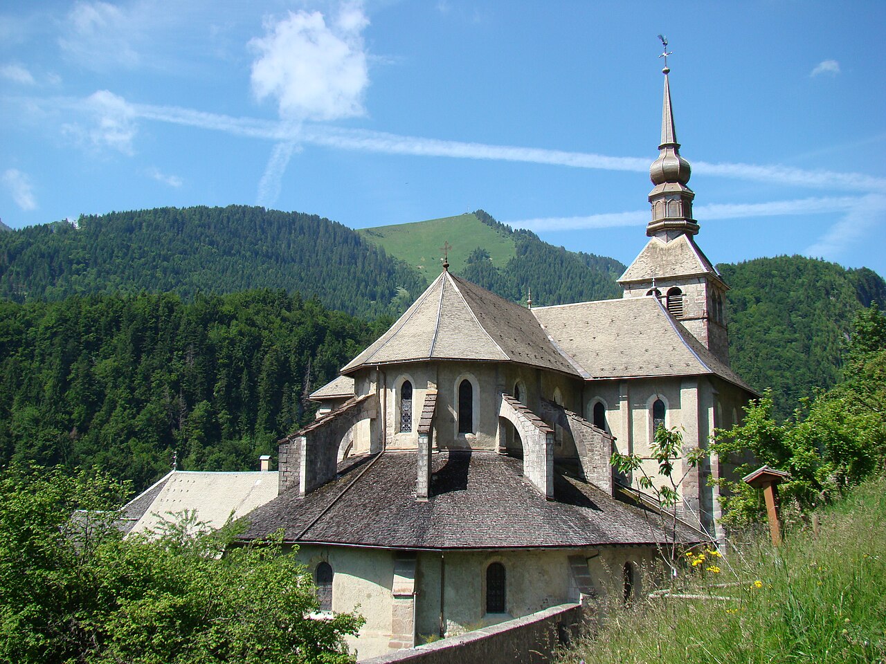 Free
Free
Former railway converted into a greenway in the Abondance Valley: ~22 km of gentle path, ideal for family cycling, walking and prams.
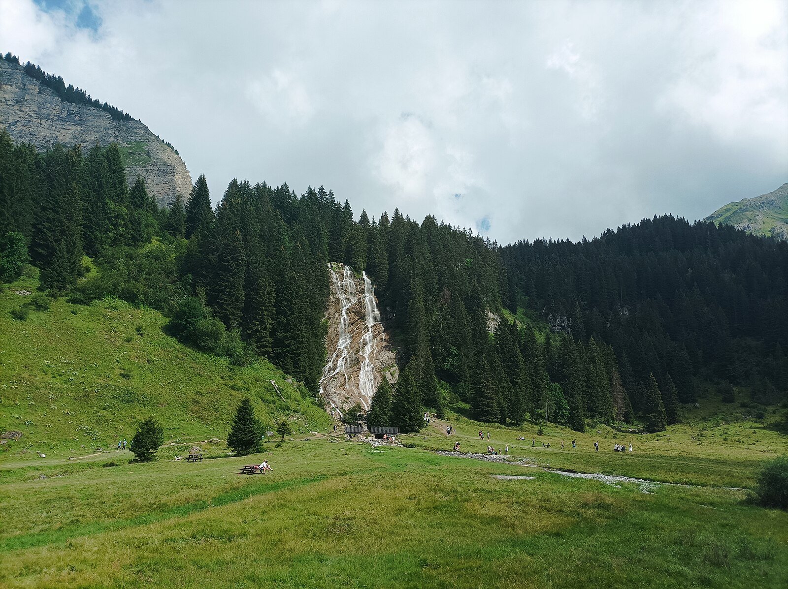 Free
Free
30 m waterfall with natural pool, 30–40 min hike from Les Lindarets. Free access year-round in Vallée d'Aulps, Haute-Savoie.
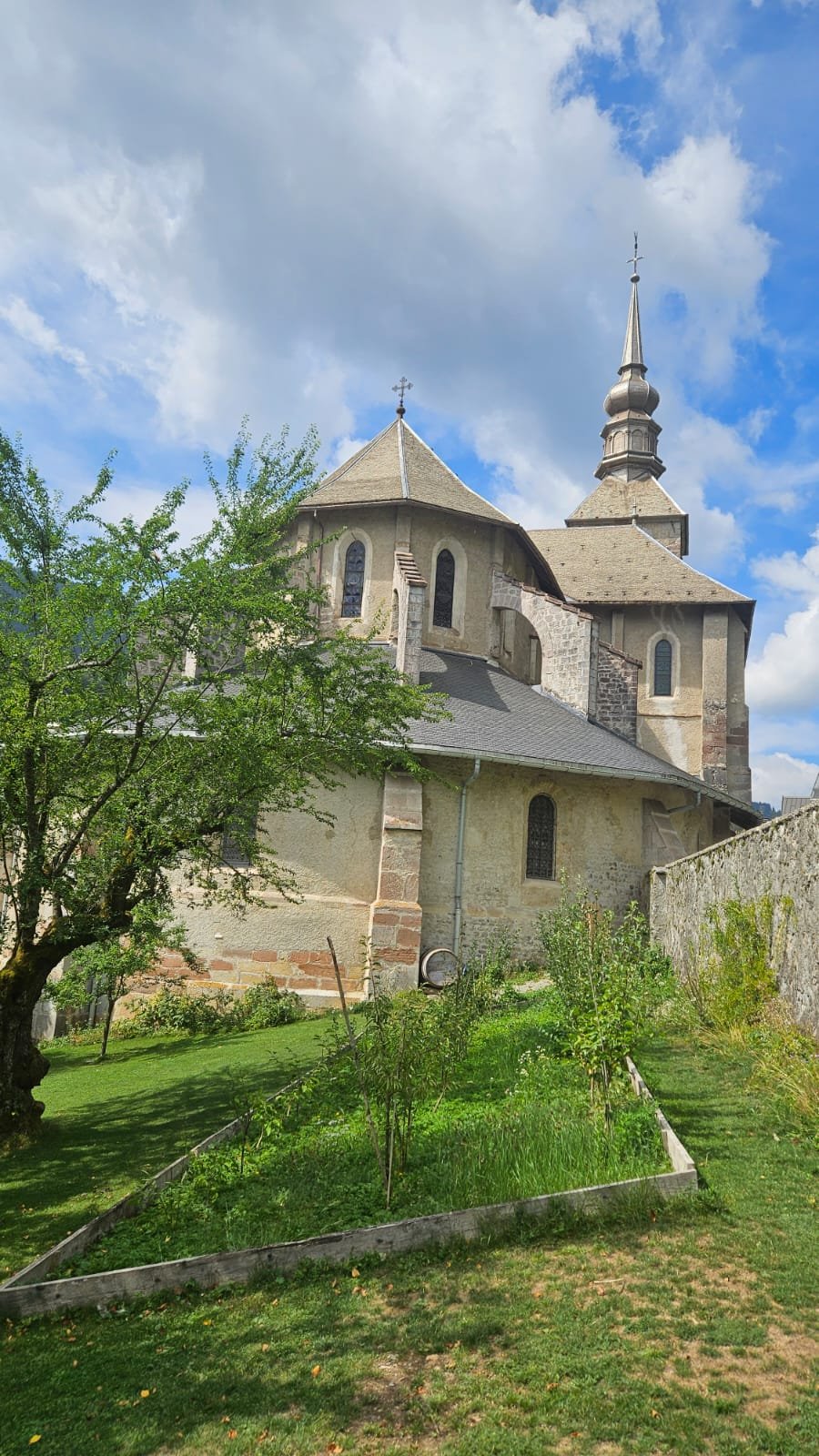 Paid
Paid
Abbey founded in 1108, cloister with 15th-century wall paintings and a sacred-art exhibition. Admission €6, DUO ticket with the Cheese House €10. Open year-round except 31 Oct–20 Dec.
 Free
Free
Family interpretive trail at Pre-la-Joux (Chatel): 600 m loop, about 50 min, fauna and flora panels, open May - October.
Free
Easy flat 16 km path along the Dranse between Châtel and Abondance: family-friendly, stroller, bike. Abondance valley, free.
 Free
Free
Ornithological interpretive trail at Chatel: from the Col de Bassachaux to the Rochassons summit on the GR5, in the Vallee d'Abondance (Chablais UNESCO Geopark).