
A restaurant in Saint-Ferréol?
Hosting visitors of Cascade de Fontany ? Appear here.
Become a partnerA little-known waterfall in the hamlet of Fontany, reached after a quarter of an hour's walk through the woods — "spectacular, for a moment of coolness" according to the Sources du Lac d'Annecy tourist office.

The Cascade de Fontany lies hidden above the hamlet of the same name, on the heights of Saint-Ferréol, between Faverges and the Tamié valley. It's a short, family-friendly outing: around 600 metres of walking and 30 metres of elevation gain are enough to reach the foot of the falls, roughly thirty minutes there and back including photo stops.
The Sources du Lac d'Annecy tourist office sums it up in one phrase: "spectacular, for a moment of coolness". The waterfall flows all year round, but it's in spring, during the snowmelt, that it reaches its full flow.
Getting there requires a little care: the road up to the hamlet narrows towards the end, and the car park, located above the path junction, has only a few spaces. From there, follow the path down until the waterfall comes into view; just before the small bridge that spans the stream, a path heads off to the left into the woods and leads to the foot of the falls. Return by the same route.
The site is signposted on-site: from the "Le Fontany (Parking), alt. 750 m" sign, the waterfall is marked at 0h05, and the network of trails continues towards Les Resses du Fontany, La Lavanche, Lautharet, then higher up towards the Plan du Chouet, the Chalets d'Arclosan and the Crêt des Mouches. The area borders a major sensitivity zone for the Bearded Vulture (Arclosan massif): please stay on the marked paths and respect the tranquillity of the site.
Hosting visitors of Cascade de Fontany ? Appear here.
Become a partnerShare hours and specialties with visitors of Cascade de Fontany.
Become a partnerGîte, B&B, campsite, rental in Saint-Ferréol.
Become a partner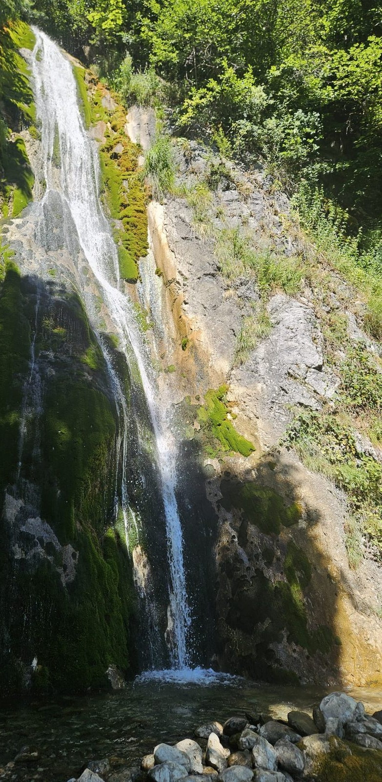 Photo : Bénédicte · merci ! 🦆 · recadrée
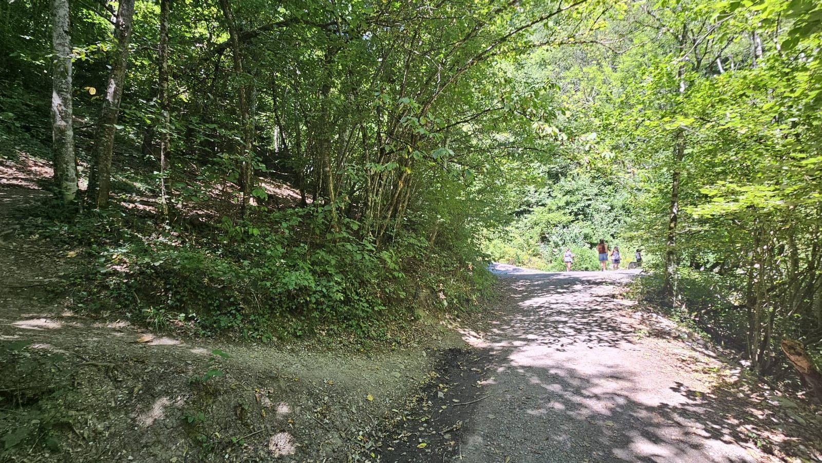 Photo : Bénédicte · merci ! 🦆
Been there? Share your photos — we'll add them to this page with credit. Tag #loisirs74 or email photos@loisirs74.fr
Yes. Access is free and open all year round, weather permitting.
Yes: around 600 m of walking and 30 m of elevation gain, roughly thirty minutes there and back. The path remains a forest track, so good footwear is recommended.
At the small car park located above the path junction, in the hamlet of Fontany. It has only a few spaces and the road is narrow towards the end, so it's best to go at off-peak times.
From the car park, follow the path down until the waterfall comes into view. Just before the small bridge overlooking the base of the falls, a path heads off to the left into the woods and leads to the foot of the waterfall.
Spring, during the snowmelt, when the flow is at its peak. That said, the waterfall remains visible all year round.
Multi-source verification at publication. Information may change — confirm with the official operator before travelling.
Nearby
Other places to explore in the area and in the same category
 Paid
Paid
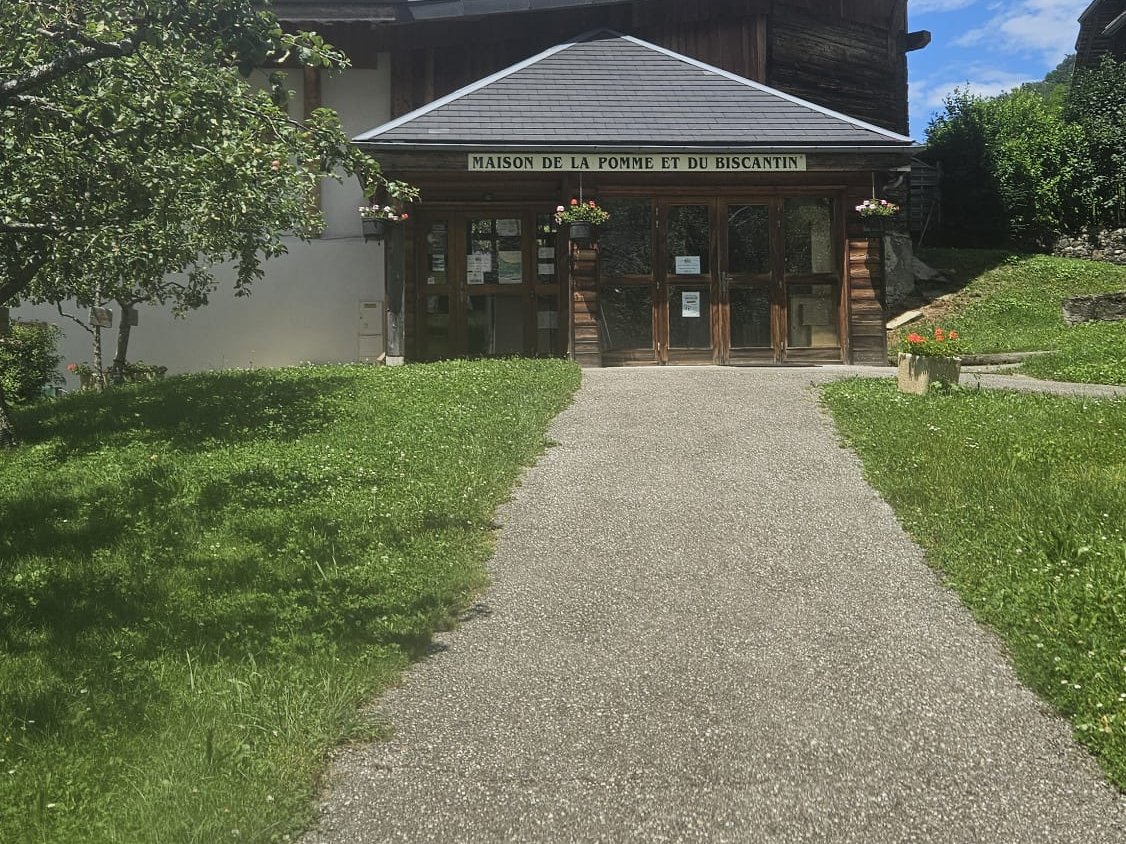
In Serraval, the Maison de la Pomme et du Biscantin tells the story of the farm orchards of the vallée de Thônes: mountain apple varieties, a cider press, the making of Biscantin — the local cider — and orchard produce for sale. Opening hours, prices and verified information.
 Paid
Paid
Archaeology museum of the Gallo-Roman vicus Casuaria. Outstanding collections, adjacent crypt church. Adult €4, free under 5. 3-site pass €7.
 Free
Free
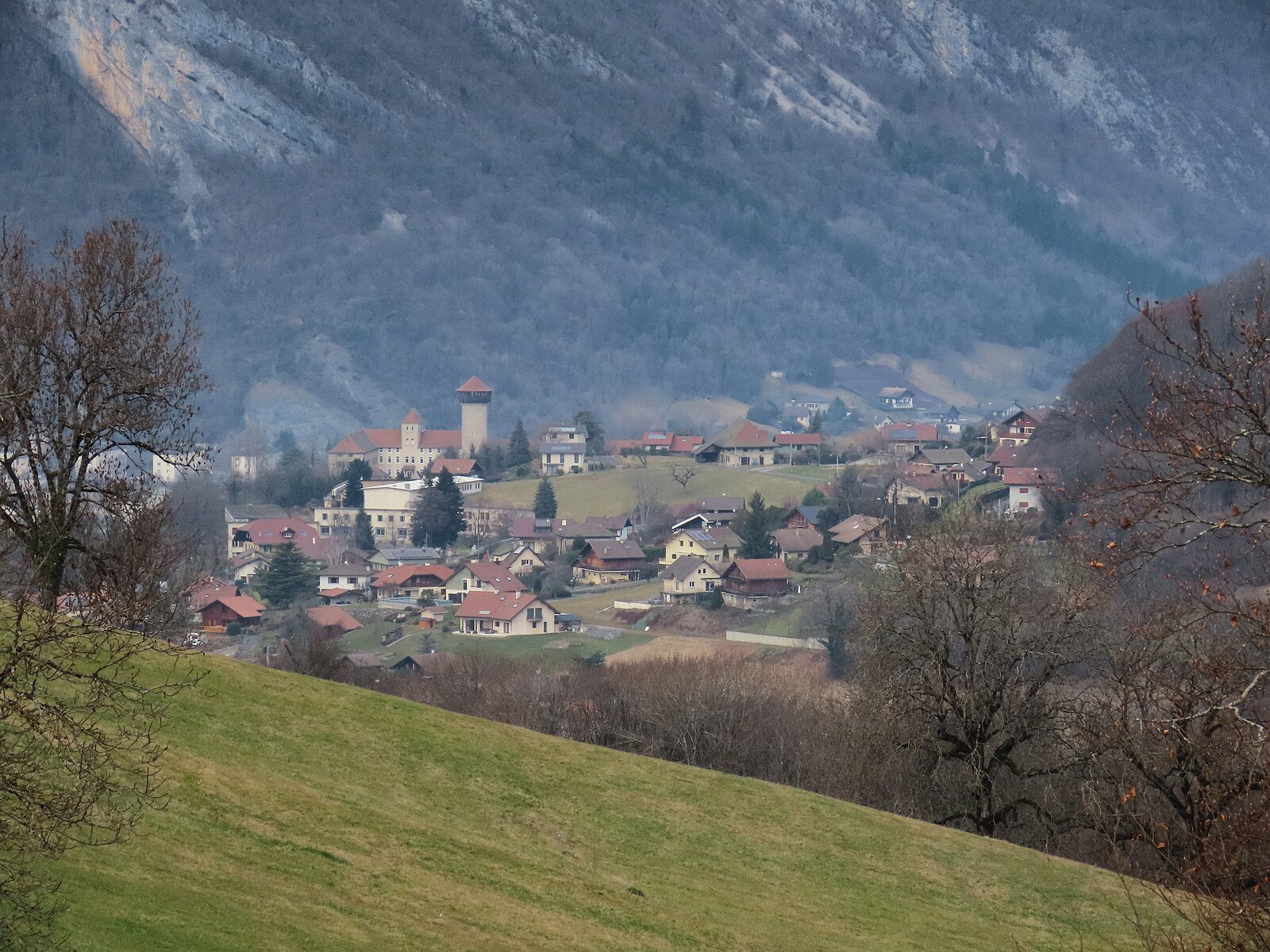
13th-century medieval keep, 145 steps, 360° view over the Bauges and Faverges valley. Free admission, listed as a Historic Monument.
 Paid
Paid
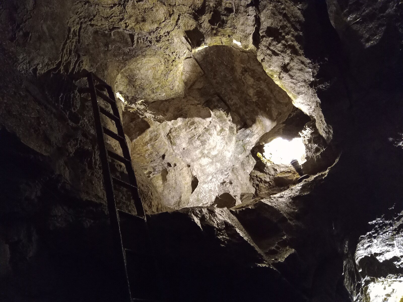
Only cave open to the public in Haute-Savoie. Guided underground tour 40 min, 40 m waterfall and zip-lines. Adult ticket €10. Open April–September.
 Free
Free
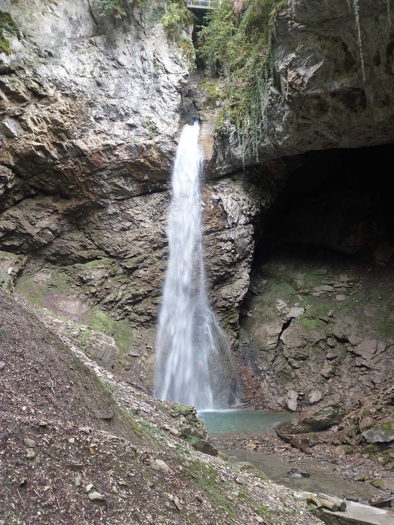
60 m waterfall accessible via secure trail in 30 min to 1 hour from Angon, Vérel or Talloires. Free access year-round above Lake Annecy.
 Free
Free
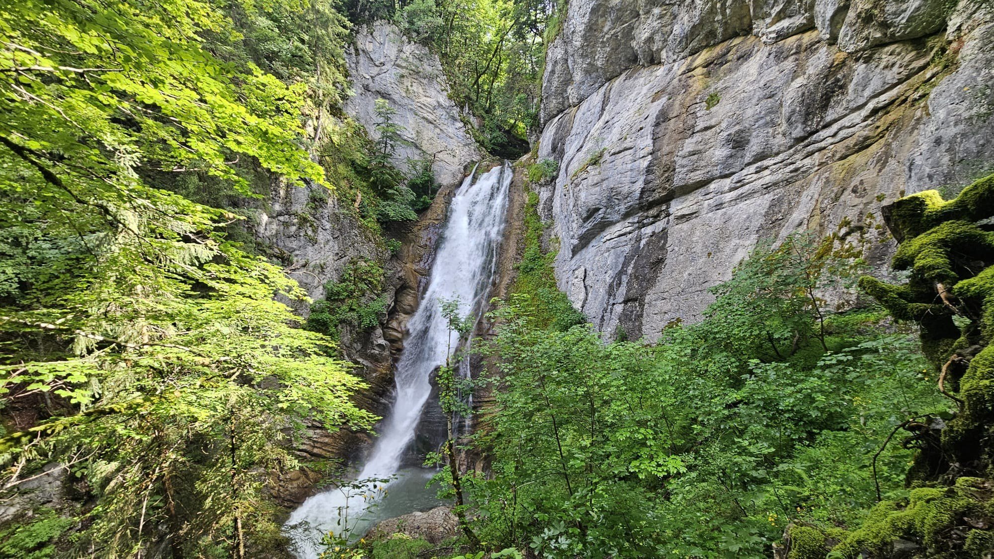
30-meter waterfall on the Nant du Chinaillon, accessible in 20 minutes' walk from Chinaillon. Local legend, sculpted gorges, easy walk year-round.