
Chez Nous à la Plage
Restaurant les pieds dans l'eau sur la plage de Saint-Jorioz. Carte estivale, terrasse face au lac.
AddressPlage de Saint-Jorioz, 74410 Saint-Jorioz
Phone+33 4 50 64 97 23
HoursOuvert mi-février au 1er novembre · Fermé le lundi
33 km of dedicated path on the former Annecy-Albertville railway line, on the west shore of the lac d'Annecy. Flat, paved, accessible to all: the busiest greenway in the Alps.
Location verified by loisirs74.fr
The Voie verte du Lac d'Annecy is the emblematic cycling and pedestrian route of Haute-Savoie: 33 km of dedicated path along the former Annecy-Albertville railway line, closed in 1966 and progressively converted from 1996 onward by the SILA (Syndicat Mixte du Lac d'Annecy). The route runs exclusively along the west shore of the lake, from Pâquier d'Annecy (45,8992° N, 6,1294° E) to Val de Chaise at Marlens, extended by the V62 cycle route to Albertville on the Savoie side.
Features: smooth 3.50 m wide surfacing, flat (cumulative elevation gain ~20 m), waymarked and maintained year-round. Accessible to everyone: cyclists, pedestrians, skaters, strollers, wheelchairs, children's bikes. The route passes through 10 lakeside communes: Annecy, Sevrier, Saint-Jorioz, Duingt, Doussard, Lathuile, Giez, Faverges, Saint-Ferréol, Val de Chaise. According to SILA, the route sees more than 1,500,000 passages a year on its busiest sections - making it the most heavily used voie verte in the French Alps, with peaks of 10,000 passages/day in summer.
Tour du Lac d'Annecy by bike: a full loop of 38 to 42 km, combining the voie verte on the west shore with the D909a shared road on the east shore. Free, open access year-round, 24/7. Free car parks at the main access points: Pâquier d'Annecy, Sevrier, Saint-Jorioz, Doussard, Faverges. 2025-2026 works: 8 widening phases over 15.3 km on the west side, traffic maintained but with occasional diversions.
SILA manages and maintains the 30 km between Sevrier (Beaurivage) and Val de Chaise. The route has three underpasses avoiding crossings with motor vehicles, plus protective barriers at certain intersections. The extension from Bredannaz to Val de Chaise cost close to €9.3 million (SILA, the Auvergne-Rhône-Alpes Region, the Haute-Savoie Department, and the European Union). Major rest area: the former Bredannaz railway station (Doussard), equipped with toilets, a drinking water fountain and a picnic area with tables and benches, where the association Les Amis de Bredannaz displays vintage railway equipment including a locomotive from 1911.
The official tour-of-the-lake loop is given as 40 km by SILA. The east shore, developed in stages between 2010 and 2022, comprises 13.5 km of voie verte, 3.5 km of cycle lane and 3 km of shared roads: there is no dedicated cycling facility through Veyrier-du-Lac and Menthon-Saint-Bernard, and only a single lane is provided through Talloires (in the Angon → Talloires direction). Hillier overall, the east shore is not recommended for families with young children, who should choose the west shore instead.
Recommended starting point is the Pâquier d'Annecy from the town centre (Bonlieu car park, station car park). SILA Sevrier car park accessible via the D1508, Sevrier exit. Free car parks in all the lakeside communes of the Voie verte du Lac d'Annecy.
Open in MapsAnnecy SNCF station is a 5-minute walk from the Pâquier d'Annecy (starting point of the Voie verte du Lac d'Annecy). SIBRA buses, all lines, stop 'Bonlieu' or 'Courier'. Cars Région Annecy-Faverges line serves the communes along the greenway.
Open in MapsThe Voie verte du Lac d'Annecy itself is the main cycling route. Extension via the Véloroute V62 towards Albertville (Savoie). Connection to the ViaRhôna EV17 via the Genevois greenway (currently under development).
Open in MapsTransport data verified on 2026-06-15 · source transport.data.gouv.fr (Licence Etalab 2.0)
Pâquier Annecy, Sevrier, Saint-Jorioz, Doussard, Faverges (free)
Restaurant les pieds dans l'eau sur la plage de Saint-Jorioz. Carte estivale, terrasse face au lac.
Been there? Share your photos — we'll add them to this page with credit. Tag #loisirs74 or email photos@loisirs74.fr
No. Access to the Voie verte du Lac d'Annecy is free and open 24/7, all year round, for everyone and every use (cycling, walking, rollerblading, strollers, wheelchairs). No toll, no ticketing.
The Voie verte du Lac d'Annecy is 33 km of dedicated path on the west shore, from the Pâquier d'Annecy to Marlens (Val de Chaise). Extended by the V62 towards Albertville (50 additional km on the Savoie side).
Yes, completely. The Voie verte du Lac d'Annecy is entirely accessible to wheelchairs and strollers: smooth paved surface 3.50 m wide, flat (cumulative elevation gain ~20 m over 33 km), no steps. Ideal for wheelchairs and children's bikes.
Yes. The complete Tour du Lac d'Annecy loop is 38 to 42 km: 33 km on the Voie verte du Lac d'Annecy on the west shore plus 9-15 km on the shared D909a on the east shore. Allow 4-6 h for a relaxed bike ride.
The Voie verte du Lac d'Annecy follows the former Annecy-Albertville railway line, closed in 1966. Gradual conversion into a cycling greenway began in 1996 led by SILA, with the 33 km completed in the 2010s.
According to SILA, the Voie verte du Lac d'Annecy records more than 1,500,000 visits annually (peaks of 10,000 visits/day in summer). It is the busiest greenway in the French Alps.
Yes. The Voie verte du Lac d'Annecy is undergoing 8 phases of widening works over 15.3 km on the west side in 2025-2026. Traffic remains open but occasional signposted diversions are in place, managed by SILA.
Electric bike, mountain bike and cargo bike rentals are available at the main access points of the Voie verte du Lac d'Annecy: Roc'n'Bike Annecy, Holiday Bikes Sevrier, Sport 2000. Rates €15-35/day, booking recommended in July-August.
Multi-source verification at publication. Information may change — confirm with the official operator before travelling.
Nearby
Other places to explore in the area and in the same category
 Paid
Paid
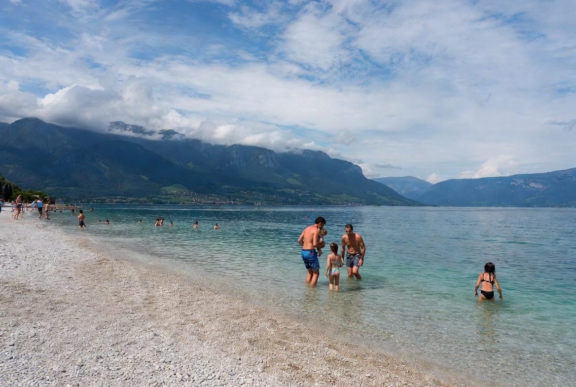
Annecy's iconic 17,000 sqm beach between Albigny and the Pâquier. Major 2026 change: the beach becomes paying in summer (fenced, with a cap and modest fees).
 Paid
Paid
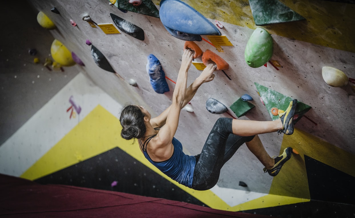
Atome Annecy: indoor climbing gym with route wall (15m+) and bouldering area, gear rental, lessons and clinics, open year-round.
 Paid
Paid
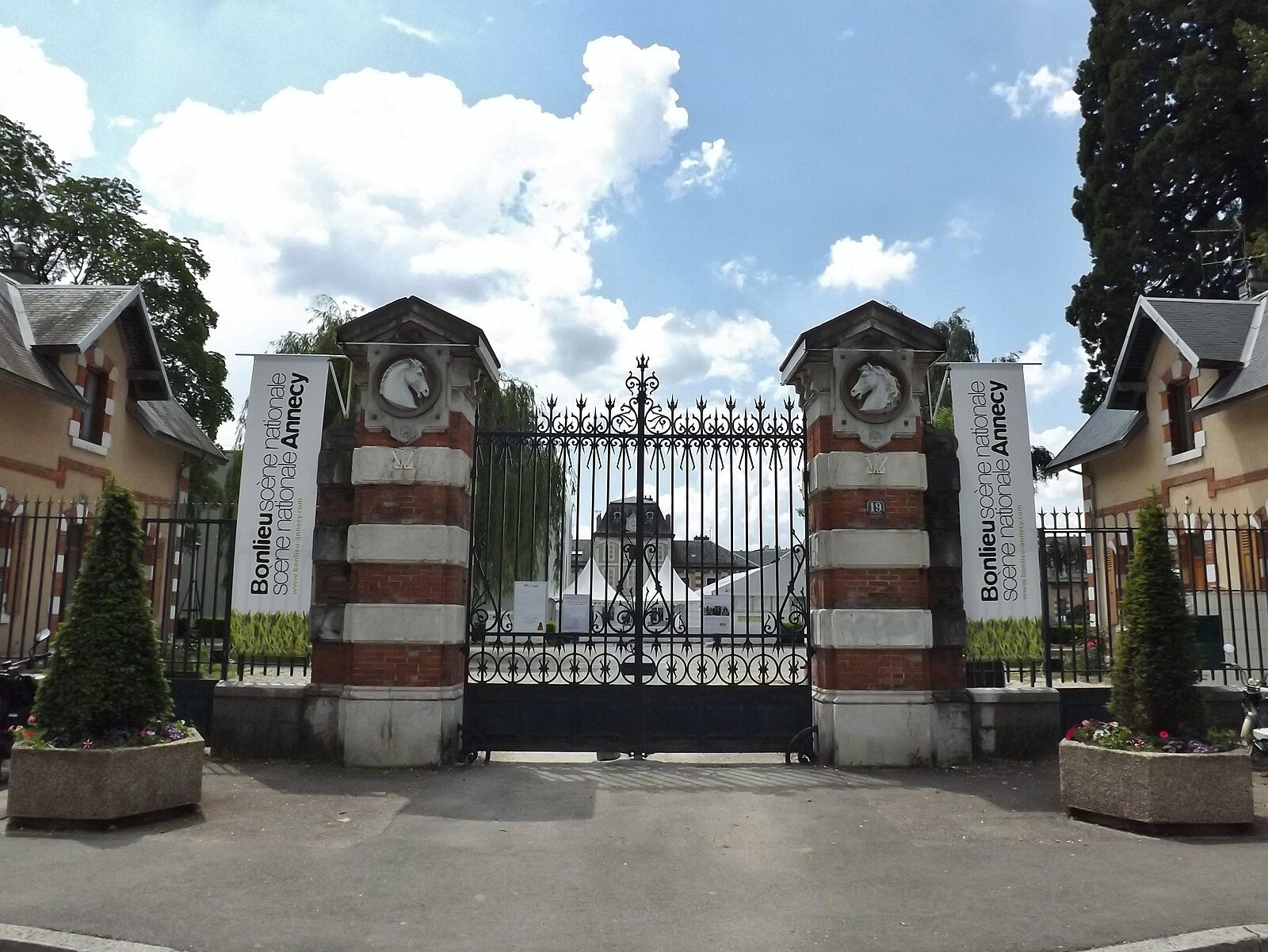
New Animated Film Museum at the Haras d'Annecy, opening 19 June 2026: 'Musées de France' collection, 450 sqm permanent exhibition, 332-seat cinema.
 Free
Free
40 km of greenway from Bonneville to Sallanches via Cluses on the V61 Lake Geneva-Mont-Blanc route. Arve footbridge opened December 2019, smooth asphalt, flat.
 Free
Free
5 km family loop along the Arve between Cluses and Thyez, leading to a leisure lake at the end - flat, wheelchair-accessible greenway in Haute-Savoie.
 Free
Free
Former railway converted into a greenway in the Abondance Valley: ~22 km of gentle path, ideal for family cycling, walking and prams.